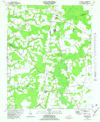
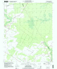
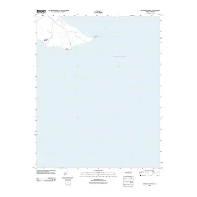
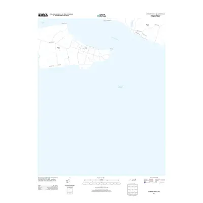
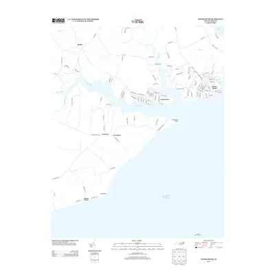
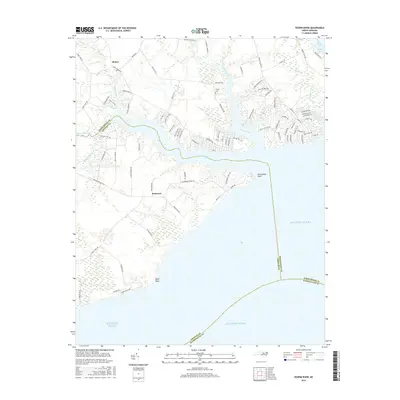
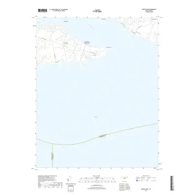
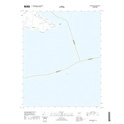
1982 Map of Yeopim River
USGS Topo · Published 1982About this map
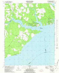
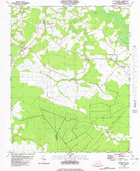
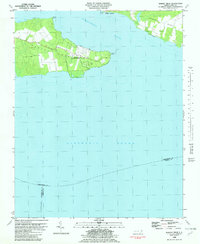
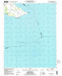
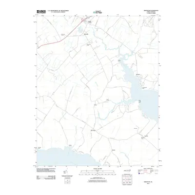
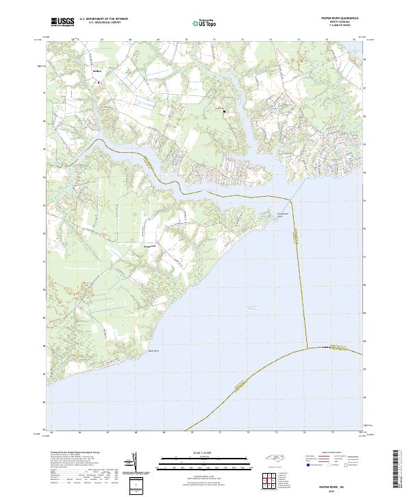
The Yeopim River flows into the expansive Albemarle Sound in this early 1980s look at the coastal border between Perquimans and Chowan counties. The landscape is defined by the transition from agricultural fields and woodland to waterfront communities, with Snug Harbor and the resort-style development at Holiday Island showing significant subdivision and street layout. Historically grounded rural centers like Bethel and Greenfield anchor the inland areas, punctuated by numerous country churches including New Bethel Ch and Locust Grove Ch. Several landings and family-named features like Philips Landing and Nixons Beach dot the shoreline, reflecting the region's enduring reliance on the river and sound for transport and recreation. The map also captures the intricate network of creeks, such as Bethel Creek and Minzies Creek, that carve through the Low Country terrain.
Find a feature on this map
29 named features on this map. Tap any name to fly to it.
Don’t see what you’re looking for? This feature index may not catch every label — zoom into the map to look around manually.
Map Details
Editions of this 1982 Yeopim River Map
This is the sole edition of this map. No revisions or reprints were ever made.
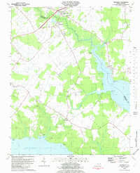
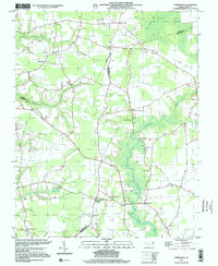
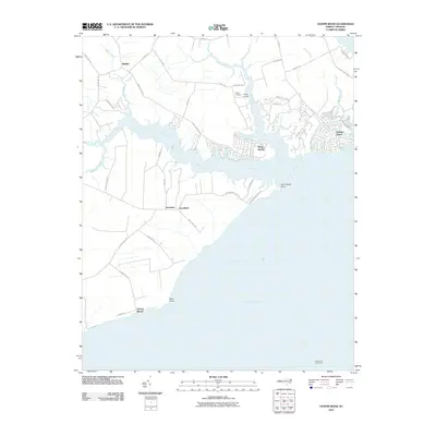
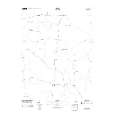
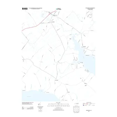
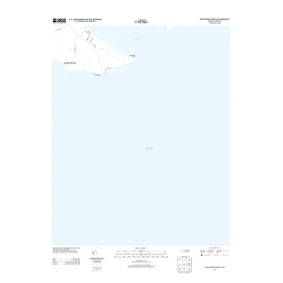
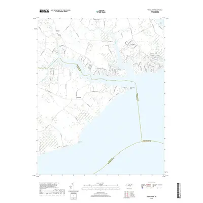
Historical Maps of Snug Harbor Through Time
46 maps found
1982 Center Hill
Perquimans County, NC
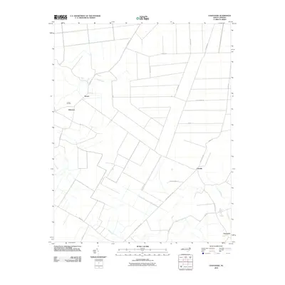
1982 Chapanoke
Perquimans County, NC
1982 Harvey
Perquimans County, NC
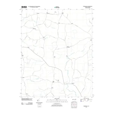
1982 Hobbsville
Perquimans County, NC
1982 Nixonton
Perquimans County, NC
1982 Stevenson Point
Perquimans County, NC
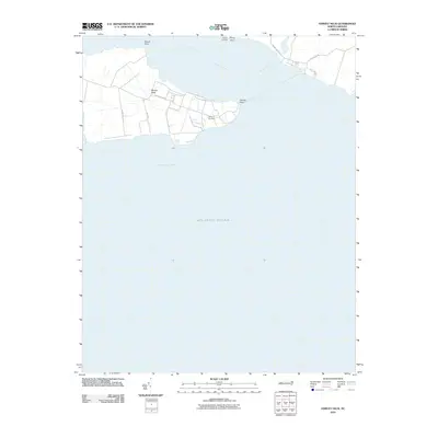
1982 Yeopim River
Perquimans County, NC
1997 Center Hill
Perquimans County, NC
1997 Chapanoke
Perquimans County, NC
1997 Hobbsville
Perquimans County, NC
1997 Stevenson Point
Perquimans County, NC
2010 Center Hill
Perquimans County, NC
2010 Chapanoke
Perquimans County, NC
2010 Harvey Neck
Perquimans County, NC
2010 Hobbsville
Perquimans County, NC
2010 Nixonton
Perquimans County, NC
2010 Stevenson Point
Perquimans County, NC
2010 Yeopim River
Perquimans County, NC
2013 Center Hill
Perquimans County, NC
2013 Chapanoke
Perquimans County, NC
2013 Harvey Neck
Perquimans County, NC
2013 Hobbsville
Perquimans County, NC
2013 Nixonton
Perquimans County, NC
2013 Stevenson Point
Perquimans County, NC
2013 Yeopim River
Perquimans County, NC
2016 Center Hill
Perquimans County, NC
2016 Chapanoke
Perquimans County, NC
2016 Harvey Neck
Perquimans County, NC
2016 Hobbsville
Perquimans County, NC
2016 Nixonton
Perquimans County, NC
2016 Stevenson Point
Perquimans County, NC
2016 Yeopim River
Perquimans County, NC

2019 Center Hill
Perquimans County, NC
2019 Chapanoke
Perquimans County, NC
2019 Harvey Neck
Perquimans County, NC
2019 Hobbsville
Perquimans County, NC
2019 Nixonton
Perquimans County, NC
2019 Stevenson Point
Perquimans County, NC
2019 Yeopim River
Perquimans County, NC
2022 Center Hill
Perquimans County, NC
2022 Chapanoke
Perquimans County, NC
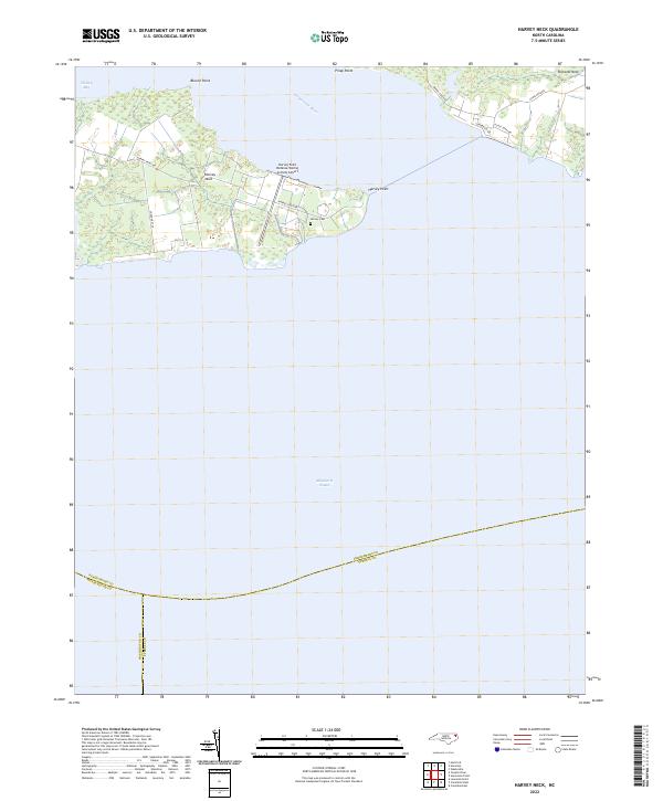
2022 Harvey Neck
Perquimans County, NC
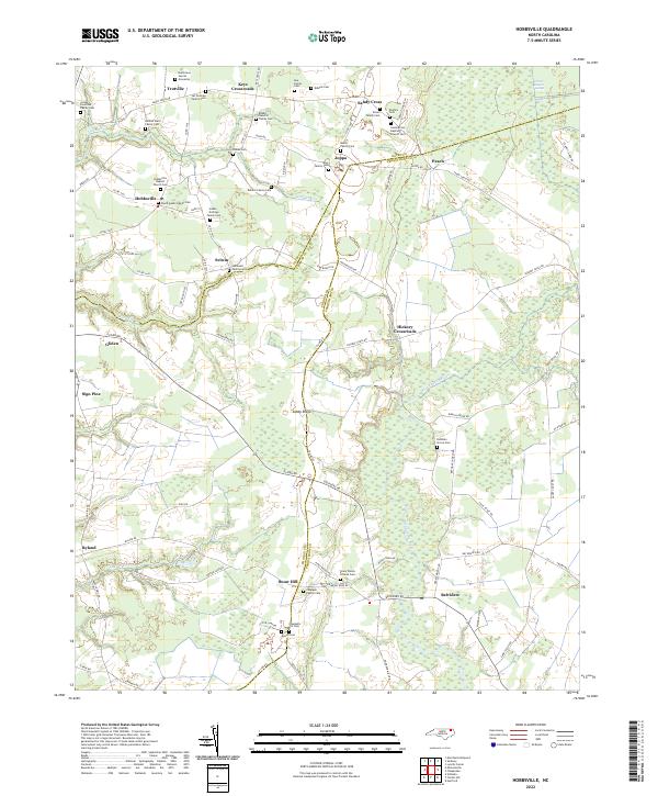
2022 Hobbsville
Perquimans County, NC
2022 Nixonton
Perquimans County, NC
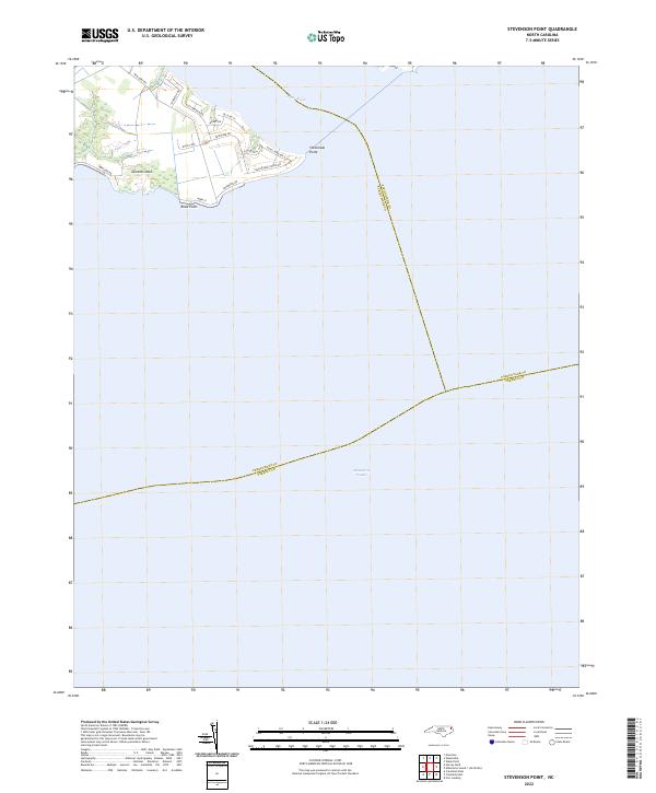
2022 Stevenson Point
Perquimans County, NC
2022 Yeopim River
Perquimans County, NC