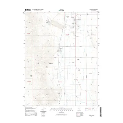
2014 Map of Yerington
USGS Topo · Published 2014About this map
Mason Valley serves as the centerpiece of this Lyon County landscape, where the confluence of the West Walker River and East Walker River feeds a complex network of irrigation infrastructure. This system includes McLeod Ditch, Spragg-Woodcock Ditch, and Back Fox Ditch, illustrating the intensive water management required for high-desert agriculture. The city of Yerington anchors the northern portion of the map, flanked by the residential layout of Weed Heights to the west and the settlement of Mason to the south.
Find a feature on this map
66 named features on this map. Tap any name to fly to it.
Don’t see what you’re looking for? This feature index may not catch every label — zoom into the map to look around manually.
Map Details
Editions of this 2014 Yerington Map
This is the sole edition of this map. No revisions or reprints were ever made.
Other maps of this area

1891 · Wabuska
USGS Topo · 1:125,000

1891 · Wellington
USGS Topo · 1:125,000

1893 · Wellington
USGS Topo · 1:125,000

1894 · Wabuska
USGS Topo · 1:125,000

1948 · Walker Lake
USGS Topo · 1:250,000

1957 · Walker Lake
USGS Topo · 1:250,000

1957 · Wellington
USGS Topo · 1:62,500

1957 · Como
USGS Topo · 1:62,500

1957 · Wabuska
USGS Topo · 1:62,500

1957 · Yerington
USGS Topo · 1:62,500