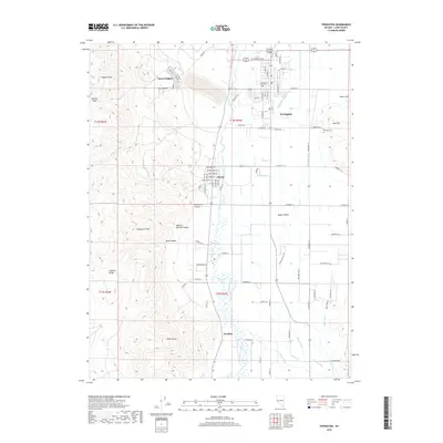
2018 Map of Yerington
USGS Topo · Published 2018About this map
Yerington and the surrounding Mason Valley are defined by a complex network of agricultural irrigation in this 2018 survey. The Walker River and its fork, the East Walker River, feed numerous man-made waterways such as McLeod Ditch, Spragg-Woodcock Ditch, and Woods Ditch, which support the valley floor. To the west, the arid Singatse Range rises sharply, featuring landmarks like Singatse Peak, Newhouse Peak, and the geological cut of The Canyon. The map details the transition from the high desert terrain of Mickey Pass to the structured grid of settlements at Weed Heights, Mason, and Nordyke. Genealogists and local historians can trace specific residential developments along named routes like Quilici Ln and Hells Bells Rd, or locate the Yerington Cem east of the city center. The presence of the Yerington Municipal Airport and various industrial sidings reflects the modern economic infrastructure of this historic Nevada mining and ranching hub.
Find a feature on this map
57 named features on this map. Tap any name to fly to it.
Don’t see what you’re looking for? This feature index may not catch every label — zoom into the map to look around manually.
Map Details
Editions of this 2018 Yerington Map
This is the sole edition of this map. No revisions or reprints were ever made.
Other maps of this area

1891 · Wabuska
USGS Topo · 1:125,000

1891 · Wellington
USGS Topo · 1:125,000

1893 · Wellington
USGS Topo · 1:125,000

1894 · Wabuska
USGS Topo · 1:125,000

1948 · Walker Lake
USGS Topo · 1:250,000

1957 · Walker Lake
USGS Topo · 1:250,000

1957 · Wellington
USGS Topo · 1:62,500

1957 · Como
USGS Topo · 1:62,500

1957 · Wabuska
USGS Topo · 1:62,500

1957 · Yerington
USGS Topo · 1:62,500