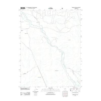
2012 Map of Yerington SE
USGS Topo · Published 2012About this map
The East Walker River meanders through the high desert of western Nevada, anchoring a landscape defined by ranching and water management. This 2012 survey illustrates the vital role of the river in sustaining agriculture through an extensive network of irrigation features, including the Strosnider East Ditch, Tunnel Ditch, and the Lower Charleboise Ditch. At the center of this activity sits the Strosnider Ranch, a prominent family name that reflects the local history of land use in Mason Valley.
Find a feature on this map
15 named features on this map. Tap any name to fly to it.
Don’t see what you’re looking for? This feature index may not catch every label — zoom into the map to look around manually.
Map Details
Editions of this 2012 Yerington SE Map
This is the sole edition of this map. No revisions or reprints were ever made.
Other maps of this area

1891 · Wellington
USGS Topo · 1:125,000

1893 · Wellington
USGS Topo · 1:125,000

1909 · Hawthorne
USGS Topo · 1:250,000

1911 · Hawthorne
USGS Topo · 1:250,000

1915 · Hawthorne
USGS Topo · 1:250,000

1948 · Walker Lake
USGS Topo · 1:250,000

1956 · Mt. Grant
USGS Topo · 1:62,500

1957 · Walker Lake
USGS Topo · 1:250,000

1957 · Yerington
USGS Topo · 1:62,500

1958 · Pine Grove Hills
USGS Topo · 1:62,500