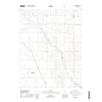
2018 Map of Yerington SE
USGS Topo · Published 2018About this map
The East Walker River carves a central path through this section of the Great Basin, defining the agricultural and transport corridor of the region. Irrigation infrastructure, vital to ranching operations here, is clearly marked by the Strosnider E Ditch, Lower Charlebois Ditch, and Upper Charlebois Ditch. These waterways support the valley floor between the elevated Cambridge Hills and the slopes of the Toiyabe National Forest.
Find a feature on this map
21 named features on this map. Tap any name to fly to it.
Don’t see what you’re looking for? This feature index may not catch every label — zoom into the map to look around manually.
Map Details
Editions of this 2018 Yerington SE Map
This is the sole edition of this map. No revisions or reprints were ever made.
Other maps of this area

1891 · Wellington
USGS Topo · 1:125,000

1893 · Wellington
USGS Topo · 1:125,000

1909 · Hawthorne
USGS Topo · 1:250,000

1911 · Hawthorne
USGS Topo · 1:250,000

1915 · Hawthorne
USGS Topo · 1:250,000

1948 · Walker Lake
USGS Topo · 1:250,000

1956 · Mt. Grant
USGS Topo · 1:62,500

1957 · Walker Lake
USGS Topo · 1:250,000

1957 · Yerington
USGS Topo · 1:62,500

1958 · Pine Grove Hills
USGS Topo · 1:62,500