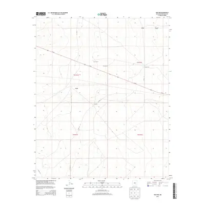
2013 Map of Yeso NW
USGS Topo · Published 2013About this map
Largo occupies the center of this high-plains landscape in De Baca County, illustrating the persistence of ranching life in eastern New Mexico during the early twenty-first century. The map depicts a sparse network of county roads, including CO Road 1-37 and CO Road 1-32, that connect isolated family holdings such as the McCabe Ranch and Smith Ranch.
Find a feature on this map
16 named features on this map. Tap any name to fly to it.
Don’t see what you’re looking for? This feature index may not catch every label — zoom into the map to look around manually.
Map Details
Editions of this 2013 Yeso NW Map
This is the sole edition of this map. No revisions or reprints were ever made.
Other maps of this area

1954 · Fort Sumner
USGS Topo · 1:250,000

1958 · Fort Sumner
USGS Topo · 1:250,000

1966 · El Morro Mesa
USGS Topo · 1:24,000

1966 · Borica SW
USGS Topo · 1:24,000

1966 · Cooper Ranch
USGS Topo · 1:24,000

1966 · Horney Ranch
USGS Topo · 1:24,000

1966 · Yeso
USGS Topo · 1:24,000

1966 · Yeso NW
USGS Topo · 1:24,000

1978 · El Morro Ranch SE
USGS Topo · 1:24,000

1979 · Fort Sumner
USGS Topo · 1:100,000