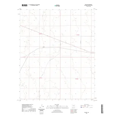
2020 Map of Yeso NW
USGS Topo · Published 2020About this map
Largo occupies a central position on this high-plains landscape in De Baca County, where the infrastructure of modern travel meets the legacy of land division. The settlement is situated at a junction where local thoroughfares like Co Rd 1-37 and the primary corridor of 60 converge. This 2020 map documents the persistent layout of the Public Land Survey System, with township and range lines such as t3n r21e and t2n r22e clearly defining the cadastral framework of the region. The map reveals a sparsely populated terrain crisscrossed by isolated routes including Yeso Creek Rd and Hermit Loop Rd, reflecting the expansive and open character of eastern New Mexico. The presence of Co Rd 1-42 cutting diagonally across the southwestern sections suggests established transit patterns across the undulating topography of the basin.
Find a feature on this map
10 named features on this map. Tap any name to fly to it.
Don’t see what you’re looking for? This feature index may not catch every label — zoom into the map to look around manually.
Map Details
Editions of this 2020 Yeso NW Map
This is the sole edition of this map. No revisions or reprints were ever made.
Other maps of this area

1954 · Fort Sumner
USGS Topo · 1:250,000

1958 · Fort Sumner
USGS Topo · 1:250,000

1966 · El Morro Mesa
USGS Topo · 1:24,000

1966 · Borica SW
USGS Topo · 1:24,000

1966 · Cooper Ranch
USGS Topo · 1:24,000

1966 · Horney Ranch
USGS Topo · 1:24,000

1966 · Yeso
USGS Topo · 1:24,000

1966 · Yeso NW
USGS Topo · 1:24,000

1978 · El Morro Ranch SE
USGS Topo · 1:24,000

1979 · Fort Sumner
USGS Topo · 1:100,000