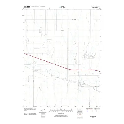
2009 Map of Yocemento
USGS Topo · Published 2009About this map
Yocemento sits at a crossroads of transportation in Ellis County, where the winding path of Big Creek meets the modern infrastructure of Interstate 70 and the historic route of Old Hwy 40. The landscape is defined by the high ground of Hog Back, a prominent ridge that separates the drainage patterns of the prairie. This 2009 survey shows the transition from rural agricultural sections to the outskirts of development, evidenced by the Fort Hays Memorial Gardens and a network of arterial roads like Locust Grove Rd and Hopewell Rd. The map illustrates how late 20th-century highway expansion has layered over the traditional grid of range and township lines, while preserving the identity of localized landmarks and named county roads such as Emmeram Rd and Stonecrest Rd.
Find a feature on this map
18 named features on this map. Tap any name to fly to it.
Don’t see what you’re looking for? This feature index may not catch every label — zoom into the map to look around manually.
Map Details
Editions of this 2009 Yocemento Map
This is the sole edition of this map. No revisions or reprints were ever made.
Other maps of this area

1893 · Ellis
USGS Topo · 1:125,000

1893 · Hill
USGS Topo · 1:125,000

1896 · Hays
USGS Topo · 1:125,000

1896 · Plainville
USGS Topo · 1:125,000

1955 · Great Bend
USGS Topo · 1:250,000

1955 · Beloit
USGS Topo · 1:250,000

1957 · Great Bend
USGS Topo · 1:250,000

1958 · Great Bend
USGS Topo · 1:250,000

1959 · Beloit
USGS Topo · 1:250,000

1961 · Yocemento
USGS Topo · 1:24,000