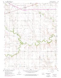
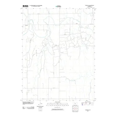
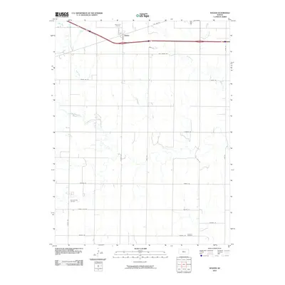
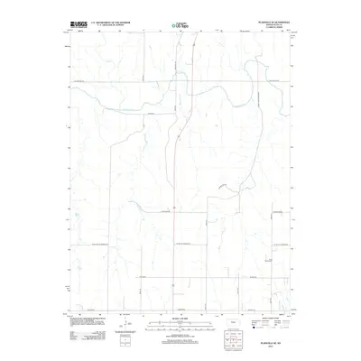
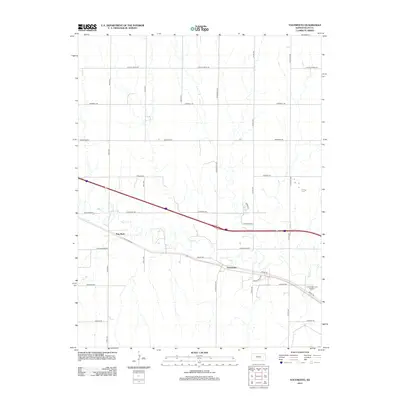
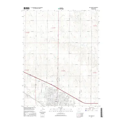
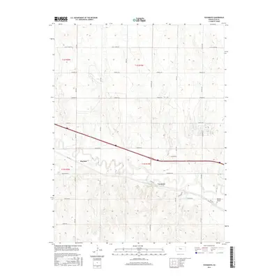
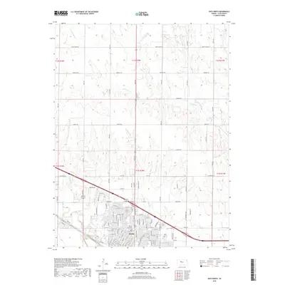
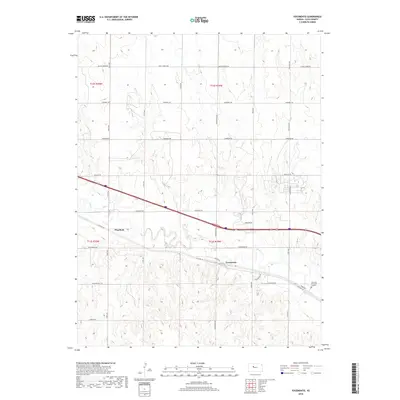
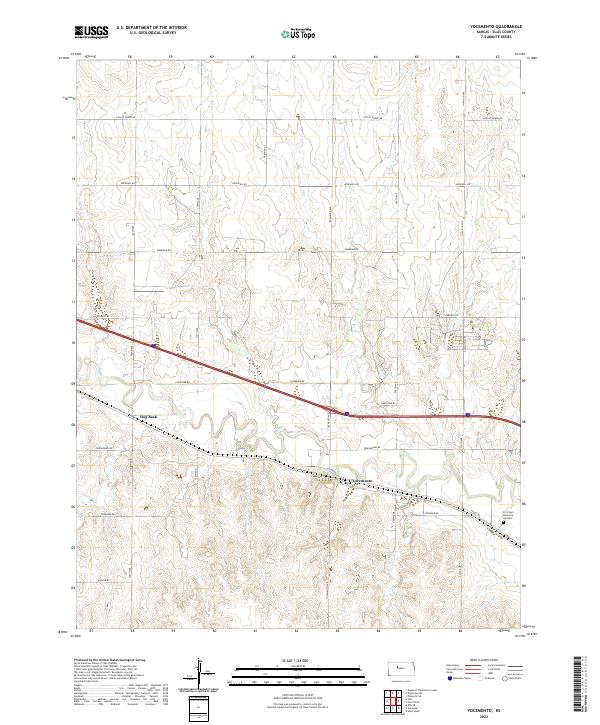
1961 Map of Yocemento
USGS Topo · Published 1977About this map
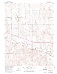
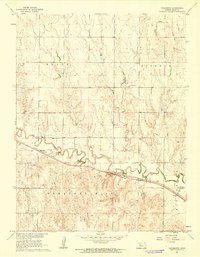
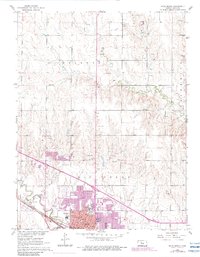
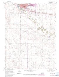
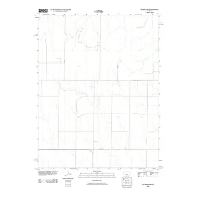
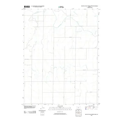
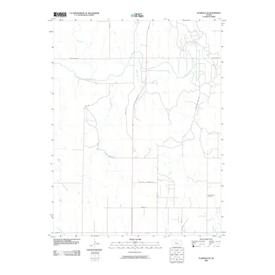
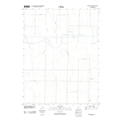
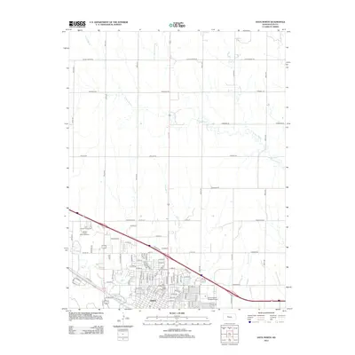
Big Creek winds through the heart of the Kansas plains, following a corridor shared by the Union Pacific railroad. The settlement of Yocemento serves as a focal point along this transit artery, reflecting a landscape shaped by transportation and resource extraction. Evidence of early industry is scattered across the township lines of Ellis and Buckeye, with numerous Quarries, a Gravel Pit, and a documented Oil Well indicating the area's economic reliance on the land. To the south, the terrain rises toward Pleasant Hill, while the eastern edge of the survey includes the Fort Hays Memorial Gardens (Cemetery). The transition from traditional surface routes like Highway 40 to the modern path of Interstate 70 is clearly visible, marking the mid-century evolution of local travel and regional connectivity through Hog Back.
Find a feature on this map
21 named features on this map. Tap any name to fly to it.
Don’t see what you’re looking for? This feature index may not catch every label — zoom into the map to look around manually.
Map Details
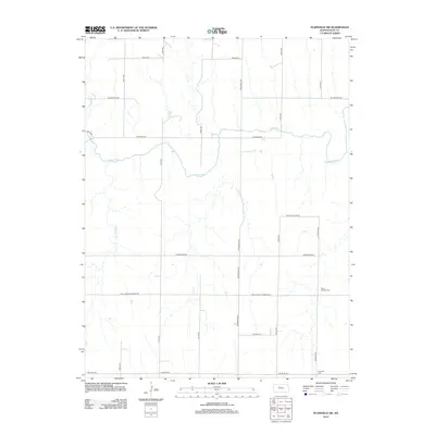
Editions of this 1961 Yocemento Map
2 editions found
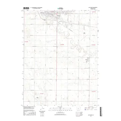
Historical Maps of Hog Back Through Time
72 maps found

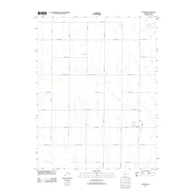
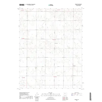
1961 Antonino
Ellis County, KS
1961 Hays North
Ellis County, KS
1961 Hays South
Ellis County, KS
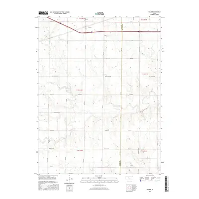
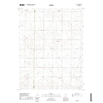
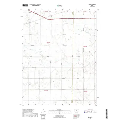
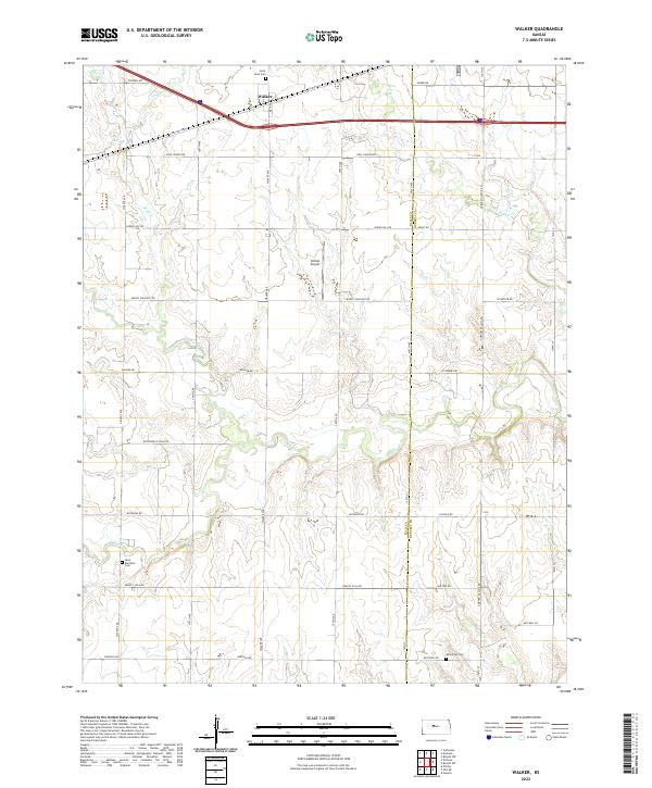
1961 Walker
Ellis County, KS
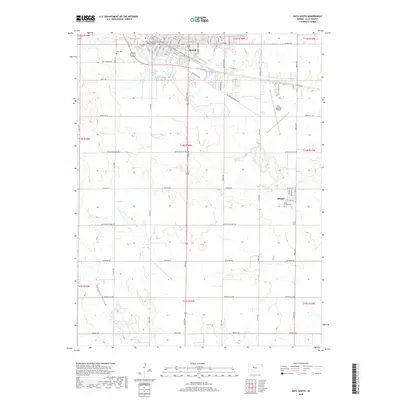
1961 Yocemento
Ellis County, KS

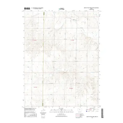
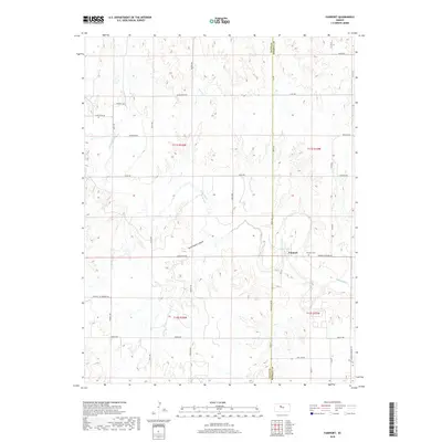
1963 Mouth of Wild Horse Creek
Ellis County, KS

1974 Ellis SE
Ellis County, KS

1978 Fairport
Ellis County, KS

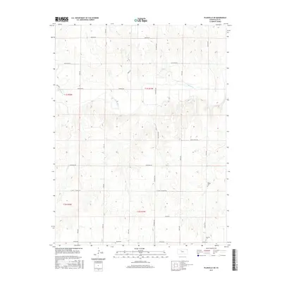
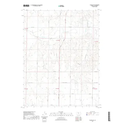
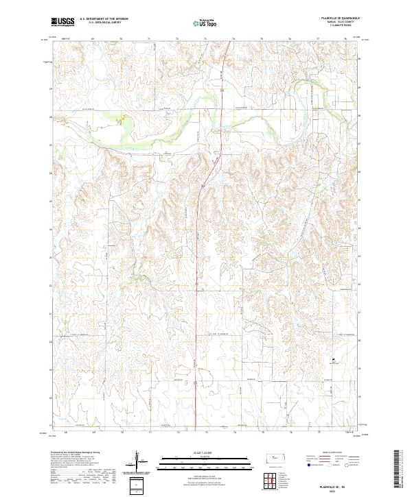
1978 Plainville SE
Ellis County, KS

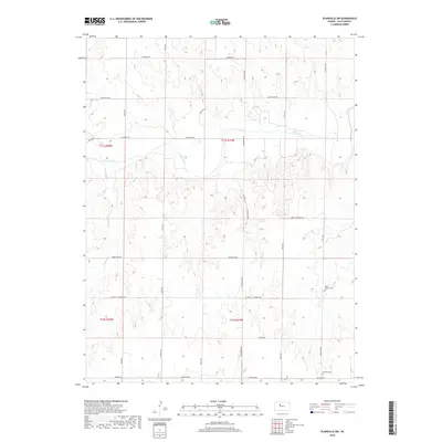
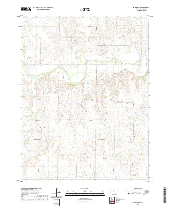
1978 Plainville SW
Ellis County, KS

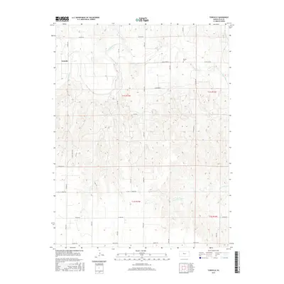
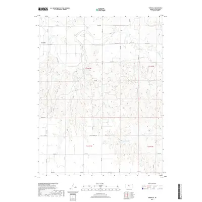
1978 Turkville
Ellis County, KS

1980 Mc Cracken NE
Ellis County, KS
2009 Antonino
Ellis County, KS
2009 Ellis SE
Ellis County, KS
2009 Fairport
Ellis County, KS
2009 McCracken NE
Ellis County, KS
2009 Mouth of Wild Horse Creek
Ellis County, KS
2009 Plainville SE
Ellis County, KS
2009 Plainville SW
Ellis County, KS
2009 Turkville
Ellis County, KS
2009 Yocemento
Ellis County, KS
2010 Hays North
Ellis County, KS
2010 Hays South
Ellis County, KS
2010 Walker
Ellis County, KS
2012 Antonino
Ellis County, KS
2012 Ellis SE
Ellis County, KS
2012 Fairport
Ellis County, KS
2012 Hays North
Ellis County, KS
2012 Hays South
Ellis County, KS
2012 McCracken NE
Ellis County, KS
2012 Mouth of Wild Horse Creek
Ellis County, KS
2012 Plainville SE
Ellis County, KS
2012 Plainville SW
Ellis County, KS
2012 Turkville
Ellis County, KS
2012 Walker
Ellis County, KS
2012 Yocemento
Ellis County, KS
2015 Antonino
Ellis County, KS
2015 Ellis SE
Ellis County, KS
2015 Fairport
Ellis County, KS
2015 Hays North
Ellis County, KS
2015 Hays South
Ellis County, KS
2015 McCracken NE
Ellis County, KS
2015 Plainville SE
Ellis County, KS
2015 Plainville SW
Ellis County, KS
2015 Turkville
Ellis County, KS
2015 Walker
Ellis County, KS
2016 Mouth of Wild Horse Creek
Ellis County, KS
2016 Yocemento
Ellis County, KS
2018 Antonino
Ellis County, KS
2018 Ellis SE
Ellis County, KS
2018 Fairport
Ellis County, KS
2018 Hays North
Ellis County, KS
2018 Hays South
Ellis County, KS
2018 McCracken NE
Ellis County, KS
2018 Mouth of Wild Horse Creek
Ellis County, KS
2018 Plainville SE
Ellis County, KS
2018 Plainville SW
Ellis County, KS
2018 Turkville
Ellis County, KS
2018 Walker
Ellis County, KS
2018 Yocemento
Ellis County, KS
2022 Antonino
Ellis County, KS
2022 Ellis SE
Ellis County, KS
2022 Fairport
Ellis County, KS
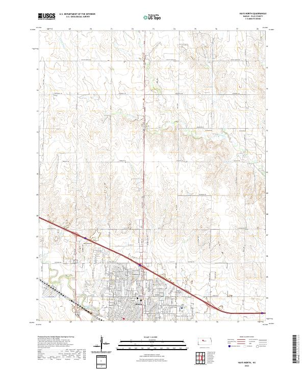
2022 Hays North
Ellis County, KS
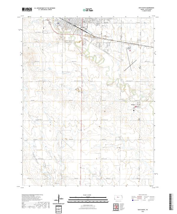
2022 Hays South
Ellis County, KS
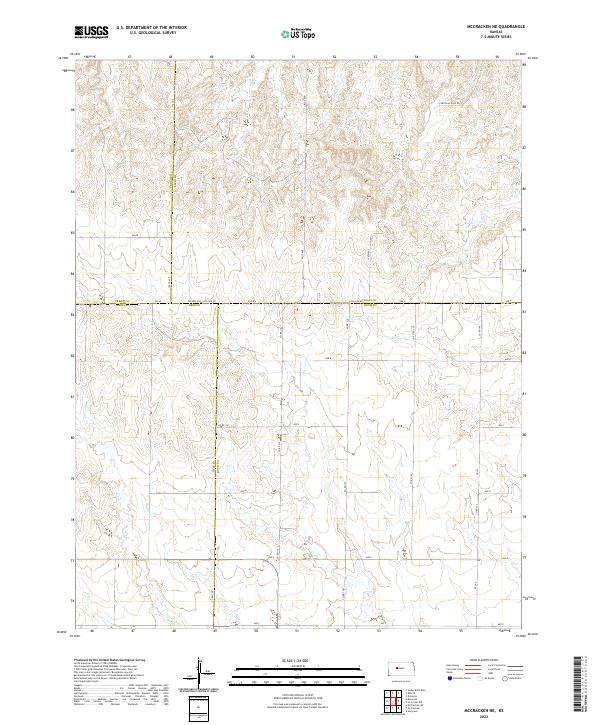
2022 McCracken NE
Ellis County, KS
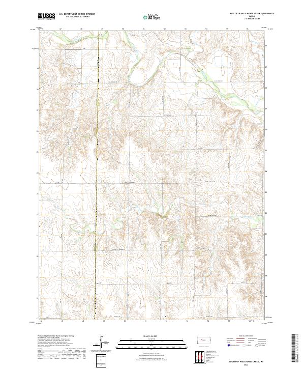
2022 Mouth of Wild Horse Creek
Ellis County, KS
2022 Plainville SE
Ellis County, KS
2022 Plainville SW
Ellis County, KS

2022 Turkville
Ellis County, KS
2022 Walker
Ellis County, KS
2022 Yocemento
Ellis County, KS