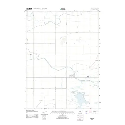
2012 Map of Yoder
USGS Topo · Published 2012About this map
Goshen Hole Reservoir and Marlatt Reservoir dominate the landscape of Goshen County on this 2012 survey, illustrating the critical role of water management in eastern Wyoming’s high plains. The terrain is defined by an intricate network of irrigation features, such as the Bump Sullivan Ditch and Canal Rd, which support the scattered agricultural outposts in this region. Small settlements and local landmarks like Silver Tip and Greasewood Ranch provide points of interest for genealogists and local historians tracking the development of rural ranching communities. The map also delineates natural waterways including Horse Creek and Corn Creek, which meander through a grid of county roads that connect remote homesteads and grazing lands across the quadrangle.
Find a feature on this map
34 named features on this map. Tap any name to fly to it.
Don’t see what you’re looking for? This feature index may not catch every label — zoom into the map to look around manually.
Map Details
Editions of this 2012 Yoder Map
This is the sole edition of this map. No revisions or reprints were ever made.
Other maps of this area
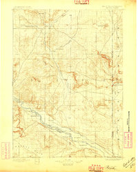
1896 · Patrick
USGS Topo · 1:125,000
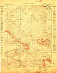
1899 · Goshen Hole
USGS Topo · 1:125,000
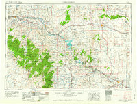
1954 · Torrington
USGS Topo · 1:250,000
1954 · Cheyenne
USGS Topo · 1:250,000
1958 · Cheyenne
USGS Topo · 1:250,000
1958 · Torrington
USGS Topo · 1:250,000
1960 · Habig Spring
USGS Topo · 1:24,000
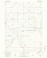
1960 · Huntley
USGS Topo · 1:24,000
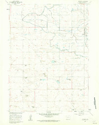
1960 · Veteran
USGS Topo · 1:24,000
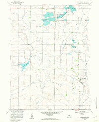
1960 · Hawk Springs
USGS Topo · 1:24,000