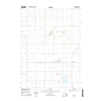
2015 Map of Yoder
USGS Topo · Published 2015About this map
Yoder serves as the central hub of this eastern Wyoming landscape, where the town layout is defined by streets like Lacy St and Markley St. The surrounding agricultural terrain in Goshen County is heavily dictated by water management, with the Bump Sullivan Ditch and Old Hwy 152 cutting across the plains to support local ranching and farming operations. To the east, the settlement of Silver Tip sits near the intersection of several local routes.
Find a feature on this map
34 named features on this map. Tap any name to fly to it.
Don’t see what you’re looking for? This feature index may not catch every label — zoom into the map to look around manually.
Map Details
Editions of this 2015 Yoder Map
This is the sole edition of this map. No revisions or reprints were ever made.
Other maps of this area

1896 · Patrick
USGS Topo · 1:125,000

1899 · Goshen Hole
USGS Topo · 1:125,000

1954 · Torrington
USGS Topo · 1:250,000

1954 · Cheyenne
USGS Topo · 1:250,000

1958 · Cheyenne
USGS Topo · 1:250,000

1958 · Torrington
USGS Topo · 1:250,000

1960 · Habig Spring
USGS Topo · 1:24,000

1960 · Huntley
USGS Topo · 1:24,000

1960 · Veteran
USGS Topo · 1:24,000

1960 · Hawk Springs
USGS Topo · 1:24,000