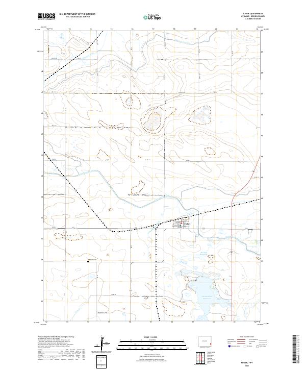
2021 Map of Yoder
USGS Topo · Published 2021About this map
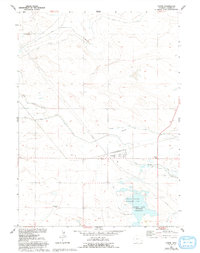
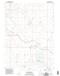
Yoder serves as the central hub of this eastern Wyoming landscape, where the town layout is defined by streets such as 1st Ave and Boyd St. The surrounding terrain is heavily modified by an intricate network of irrigation and water management features essential to high-plains agriculture, including the substantial Fort Laramie Canal and the Bump Sullivan Ditch. These waterways feed into and drain from local catchments like the Marlatt Reservoir and the larger Goshen Hole Reservoir to the south.
Find a feature on this map
42 named features on this map. Tap any name to fly to it.
Don’t see what you’re looking for? This feature index may not catch every label — zoom into the map to look around manually.
Map Details
Editions of this 2021 Yoder Map
This is the sole edition of this map. No revisions or reprints were ever made.