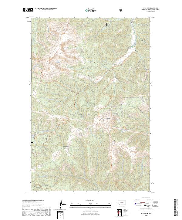
2024 Map of Yogo Peak
USGS Topo · Published 2024About this map
Little Belt Mountains topography dominates this section of the Lewis and Clark National Forest, where the high-altitude terrain reveals a history of resource extraction and rugged transit. Yogo Peak and Big Baldy Mtn serve as the primary anchors for a landscape marked by historic mining activity, specifically at the Canoy Mine and Finn Claims near Silver Gulch. These sites point to the mineral-driven development of the region, while a network of paths like the Dry Wolf Trl and Jefferson Creek Trl suggests a long-standing reliance on trail-based access through the steep gulches. Natural water features, including Twin Lakes, Rhoda Lake, and the headwaters of Dry Wolf Creek, are situated among prominent peaks such as Cabin Mtn and Coyote Peak. This survey provides an essential record of the physical landmarks and named claims that have defined the Judith Basin backcountry.
Find a feature on this map
52 named features on this map. Tap any name to fly to it.
Don’t see what you’re looking for? This feature index may not catch every label — zoom into the map to look around manually.
Map Details
Editions of this 2024 Yogo Peak Map
This is the sole edition of this map. No revisions or reprints were ever made.
Other maps of this area

1886 · Little Belt Mts.
USGS Topo · 1:250,000

1890 · Fort Benton
USGS Topo · 1:250,000

1892 · Fort Benton
USGS Topo · 1:250,000

1894 · Little Belt Mts.
USGS Topo · 1:250,000

1897 · Fort Benton
USGS Topo · 1:250,000

1897 · Little Belt Mts.
USGS Topo · 1:250,000

1898 · Little Belt Mts.
USGS Topo · 1:250,000

1902 · Little Belt Mts.
USGS Topo · 1:250,000

1948 · White Sulphur Springs
USGS Topo · 1:250,000

1954 · Great Falls
USGS Topo · 1:250,000