1915 Map of Yolo
USGS Topo · Published 1915About this map
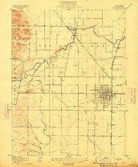
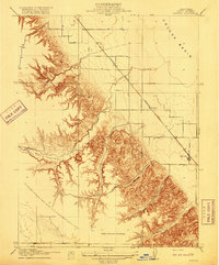
The agricultural heart of the Sacramento Valley is captured here in the early twentieth century, showing a landscape defined by water management and rail connections. Woodland serves as the primary hub, its street grid already firmly established alongside the Sacramento and Woodland railroad. The surrounding plains of the Rio Jesus Maria land grant are bisected by an intricate system of irrigation including the Moore Canal and Moore Ditch, which redirect flow from Cache Creek to support the region's orchards and fields.
Find a feature on this map
21 named features on this map. Tap any name to fly to it.
Don’t see what you’re looking for? This feature index may not catch every label — zoom into the map to look around manually.
Map Details
Editions of this 1915 Yolo Map
This is the sole edition of this map. No revisions or reprints were ever made.
Other maps of this area
1907 · Dunnigan
USGS Topo · 1:62,500
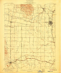
1907 · Woodland
USGS Topo · 1:62,500

1907 · Davisville
USGS Topo · 1:62,500
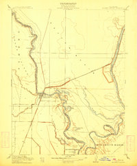
1910 · Knights Landing
USGS Topo · 1:31,680

1915 · Swingle
USGS Topo · 1:31,680

1915 · Ronda
USGS Topo · 1:31,680

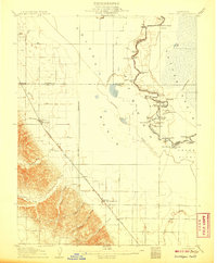
1915 · Merritt
USGS Topo · 1:31,680

1916 · Grays Bend
USGS Topo · 1:31,680

1916 · Jacobs Corner
USGS Topo · 1:31,680
1916 · Zamora
USGS Topo · 1:31,680