2022 Map of Yorba Linda
USGS Topo · Published 2022About this map
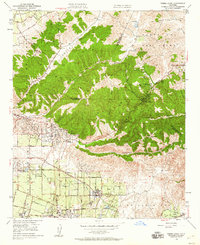
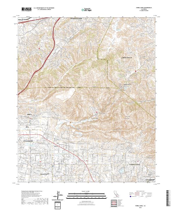
Yorba Linda and Placentia define the southern urban landscape of this 2022 survey, showcasing the dense residential growth and sophisticated water infrastructure characteristic of modern Orange County. The presence of the Anaheim Union Canal and the Anaheim Union Reservoir illustrates the engineering required to manage water in this semi-arid region, while the Anaheim Union Canal traces a historical path through the developed neighborhoods of Carlton. To the north, the terrain rises sharply into the Puente Hills and Chino Hills, where deep canyons like Tonner Canyon and Carbon Canyon provide a stark contrast to the sprawling suburbs below. Within these hills, the settlement of Sleepy Hollow remains tucked away near the Carbon Canyon Mineral Springs, highlighting the region's topographical diversity. The map also records industrial zones such as Brea Chem and the expansive ridges leading toward Diamond Bar, documenting the intersection of residential life, protected open space, and commercial enterprise.
Find a feature on this map
175 named features on this map. Tap any name to fly to it.
Don’t see what you’re looking for? This feature index may not catch every label — zoom into the map to look around manually.
Map Details
Editions of this 2022 Yorba Linda Map
This is the sole edition of this map. No revisions or reprints were ever made.
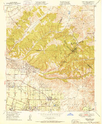
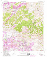
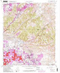
Historical Maps of Hamer Through Time
5 maps found