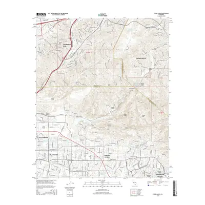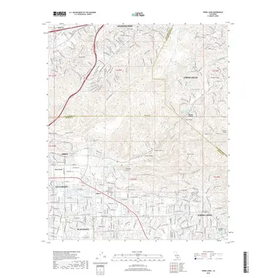
1981 Map of Yorba Linda
USGS Topo · Published 1982About this map
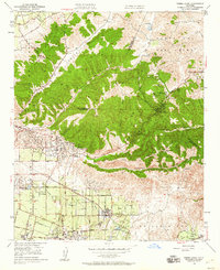
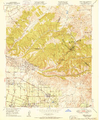
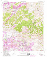
The Brea-Olinda Oil Field dominates the northern slopes of the Puente Hills, where industrial infrastructure meets the expanding residential borders of Brea, Placentia, and Fullerton. In the early 1980s, these urban extensions, marked in purple, began to push further into the canyons, yet significant open spaces like the Firestone Scout Reservation and the La Vida Mineral Springs remain distinct landmarks. The landscape is a complex network of steep terrain and utility, evidenced by the Carbon Canyon Dam and the Robert Diemer Filtration Plant situated near Telegraph Canyon. Education and civic growth are captured in the naming of the Richard M Nixon Sch and Valencia High Sch. Transport corridors like the Orange Frwy and Union Pacific rail lines carve through the hills, connecting the City of Industry with the developing communities of Yorba Linda and Carlton near the Santa Ana River.
Find a feature on this map
50 named features on this map. Tap any name to fly to it.
Don’t see what you’re looking for? This feature index may not catch every label — zoom into the map to look around manually.
Map Details
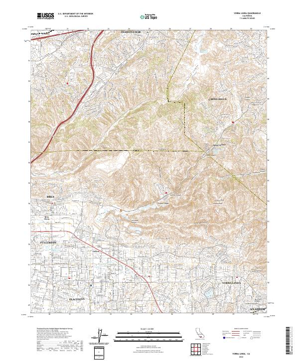
Editions of this 1981 Yorba Linda Map
This is the sole edition of this map. No revisions or reprints were ever made.
Historical Maps of Anaheim Through Time
8 maps found