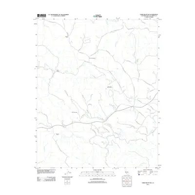
2012 Map of York Mountain
USGS Topo · Published 2012About this map
York Mountain stands as a central landmark in this portion of San Luis Obispo County, where the coastal range terrain is defined by deep canyons and winding creek beds. The drainage network is particularly dense here, featuring the headwaters of Paso Robles Cr and the long course of Santa Rita Cr which flows past the Santa Rita Ranch. The map reveals a landscape dominated by large agricultural holdings and rural estates, evident in the named properties like Kentucky Ranch and specialized infrastructure such as the Oak Country Ranch Airport.
Find a feature on this map
58 named features on this map. Tap any name to fly to it.
Don’t see what you’re looking for? This feature index may not catch every label — zoom into the map to look around manually.
Map Details
Editions of this 2012 York Mountain Map
This is the sole edition of this map. No revisions or reprints were ever made.
Other maps of this area

1897 · San Luis Obispo
USGS Topo · 1:62,500

1897 · Cayucos
USGS Topo · 1:62,500

1900 · San Luis
USGS Topo · 1:125,000

1919 · Paso Robles
USGS Topo · 1:62,500

1919 · Adelaida
USGS Topo · 1:62,500

1932 · Adelaida
USGS Topo · 1:62,500

1937 · Cayucos
USGS Topo · 1:62,500

1942 · Adelaida
USGS Topo · 1:62,500

1942 · San Luis Obispo
USGS Topo · 1:62,500

1943 · Paso Robles
USGS Topo · 1:62,500