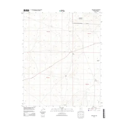
2013 Map of York Ranch
USGS Topo · Published 2013About this map
El Malpais National Monument dominates the northern landscape of this region, preserving the distinctive geological formations of The Malpais. The map details a high-desert environment where ranching operations are supported by remote infrastructure, including Rock Tank Windmill and Sand Windmill. Settlement patterns are concentrated at the York Ranch and York Headquarters, reflecting the localized nature of human activity in this corner of Cibola County. The transportation network is defined by a few key corridors such as NM-117 and Pie Town Rd, which traverse the open terrain near Goat Tank Canyon. This 2013 survey captures the intersection of federal protected lands and private ranching interests, providing a clear record of land use and water management in a demanding New Mexico landscape.
Find a feature on this map
15 named features on this map. Tap any name to fly to it.
Don’t see what you’re looking for? This feature index may not catch every label — zoom into the map to look around manually.
Map Details
Editions of this 2013 York Ranch Map
This is the sole edition of this map. No revisions or reprints were ever made.
Other maps of this area

1917 · Broom Mountain
USGS Topo · 1:125,000

1954 · Saint Johns
USGS Topo · 1:250,000

1954 · Socorro
USGS Topo · 1:250,000

1957 · Saint Johns
USGS Topo · 1:250,000

1958 · Socorro
USGS Topo · 1:250,000

1958 · Saint Johns
USGS Topo · 1:250,000
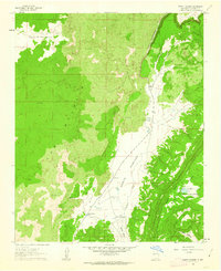
1961 · North Pasture
USGS Topo · 1:24,000

1962 · Socorro
USGS Topo · 1:250,000

1962 · Saint Johns
USGS Topo · 1:250,000
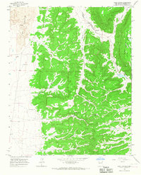
1964 · Sand Canyon
USGS Topo · 1:24,000