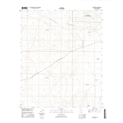
2017 Map of York Ranch
USGS Topo · Published 2017About this map
York Ranch serves as the primary named settlement in this high-altitude landscape of western New Mexico, where the rangelands of Cibola County meet protected wilderness. The northeastern corner of the map is dominated by the volcanic and basaltic terrain of El Malpais National Monument, a stark contrast to the drainages and pastoral lands to the south. Cutting across the center of the sheet from northwest to southeast, the Continental Divide National Scenic Trail marks the geographic spine of the continent. This 2017 survey reveals the intersection of remote ranching life and modern recreation, showing the local road network including Co RD 42 and the southern access via Pie Town Rd. The topography is defined by significant features like Goat Tank Canyon, which cuts through the high desert plateaus.
Find a feature on this map
10 named features on this map. Tap any name to fly to it.
Don’t see what you’re looking for? This feature index may not catch every label — zoom into the map to look around manually.
Map Details
Editions of this 2017 York Ranch Map
This is the sole edition of this map. No revisions or reprints were ever made.
Other maps of this area

1917 · Broom Mountain
USGS Topo · 1:125,000

1954 · Saint Johns
USGS Topo · 1:250,000

1954 · Socorro
USGS Topo · 1:250,000

1957 · Saint Johns
USGS Topo · 1:250,000

1958 · Socorro
USGS Topo · 1:250,000

1958 · Saint Johns
USGS Topo · 1:250,000
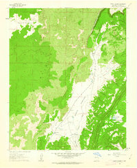
1961 · North Pasture
USGS Topo · 1:24,000

1962 · Socorro
USGS Topo · 1:250,000

1962 · Saint Johns
USGS Topo · 1:250,000
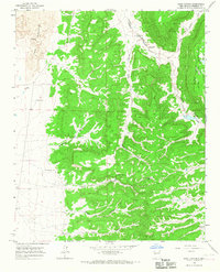
1964 · Sand Canyon
USGS Topo · 1:24,000