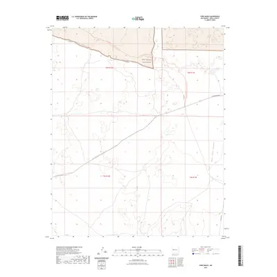
2023 Map of York Ranch
USGS Topo · Published 2023About this map
West Malpais Wilderness anchors this section of the New Mexico high desert, where volcanic landscapes and ancient pathways intersect. The map documents a rugged high-altitude corridor defined by the Continental Divide National Scenic Trl, which winds through the landscape alongside the Chain Of Craters Backcountry Byway. This area is characterized by dramatic elevation changes and significant geological features, including the drainage of Goat Tank Canyon. Local transit is facilitated by primitive routes like El Malpais Road and Pie Town Rd, which connect these remote federal lands to the surrounding plateau. The map captures the quiet isolation of the Continental Divide, providing a clear record of the access points and wilderness boundaries used by hikers and land managers in the modern era.
Find a feature on this map
11 named features on this map. Tap any name to fly to it.
Don’t see what you’re looking for? This feature index may not catch every label — zoom into the map to look around manually.
Map Details
Editions of this 2023 York Ranch Map
This is the sole edition of this map. No revisions or reprints were ever made.
Other maps of this area

1917 · Broom Mountain
USGS Topo · 1:125,000

1954 · Saint Johns
USGS Topo · 1:250,000

1954 · Socorro
USGS Topo · 1:250,000

1957 · Saint Johns
USGS Topo · 1:250,000

1958 · Socorro
USGS Topo · 1:250,000

1958 · Saint Johns
USGS Topo · 1:250,000
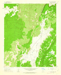
1961 · North Pasture
USGS Topo · 1:24,000

1962 · Socorro
USGS Topo · 1:250,000

1962 · Saint Johns
USGS Topo · 1:250,000
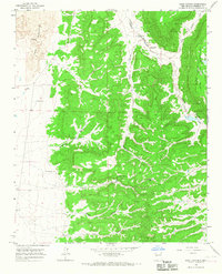
1964 · Sand Canyon
USGS Topo · 1:24,000