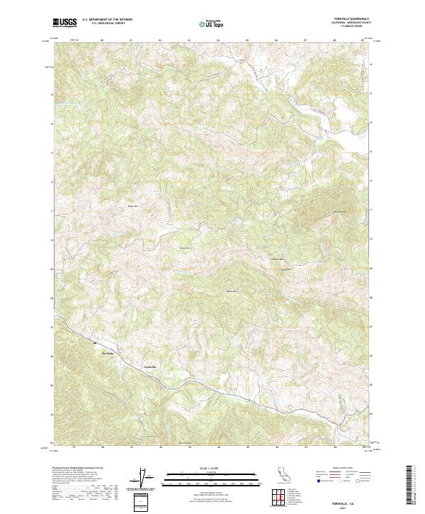
2021 Map of Yorkville
USGS Topo · Published 2021About this map
The mountain-and-valley landscape of southern Mendocino County is defined here by the headwaters of numerous creeks and the rugged peaks that separate them. Yorkville serves as the primary settlement node, situated near the confluence of Elkhorn Cr and Dry Cr, while The Oaks represents a smaller named pocket of habitation along the winding mountain roads. The map highlights the complex drainage systems of the region, where the Middle Fork Feliz Cr and Feliz Cr flow through the Sanel Valley. Higher elevations are marked by prominent summits such as Duncan Peak, Snow Mtn, and the curiously named Jeep Peak. This 2021 survey also preserves the routes of historic thoroughfares like Old Hopland 110 Rd and Pomo Tierra Ranch Rd, which follow the contours of the terrain to connect these isolated highland communities.
Find a feature on this map
39 named features on this map. Tap any name to fly to it.
Don’t see what you’re looking for? This feature index may not catch every label — zoom into the map to look around manually.
Map Details
Editions of this 2021 Yorkville Map
This is the sole edition of this map. No revisions or reprints were ever made.
Other maps of this area

1920 · Ukiah
USGS Topo · 1:62,500

1938 · Hopland
USGS Topo · 1:62,500

1943 · Boonville
USGS Topo · 1:62,500

1943 · Hopland
USGS Topo · 1:62,500

1943 · Ornbaun
USGS Topo · 1:62,500

1944 · Ukiah
USGS Topo · 1:62,500

1944 · Ornbaun
USGS Topo · 1:62,500

1944 · Hopland
USGS Topo · 1:62,500

1947 · Santa Rosa
USGS Topo · 1:250,000

1949 · Santa Rosa
USGS Topo · 1:250,000