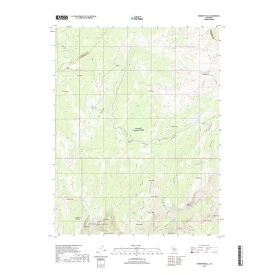
2018 Map of Yosemite Falls
USGS Topo · Published 2018About this map
Yosemite Falls drops dramatically from the northern rim into the floor of Yosemite Valley, serving as the central landmark for this 2018 survey of high Sierra terrain. The landscape is defined by its massive granitic formations, including Half Dome, North Dome, and Mt Watkins, while deep drainage basins like Tenaya Canyon and Indian Canyon channel snowmelt toward the valley below. High-altitude meadows such as Eagle Peak Meadows and Porcupine Flat provide contrast to the sheer verticality of Castle Cliffs and Arrowhead Spire. Modern access follows the corridor of Highway 120, which often parallels the historic path of the Old Tioga Road. For those studying the geography of Yosemite National Park, this map details the complex trail systems, including the Snow Creek Trail and Yosemite Falls Trail, which negotiate the steep ascent from the valley floor to the high country peaks like Mt Hoffmann.
Find a feature on this map
54 named features on this map. Tap any name to fly to it.
Don’t see what you’re looking for? This feature index may not catch every label — zoom into the map to look around manually.
Map Details
Editions of this 2018 Yosemite Falls Map
This is the sole edition of this map. No revisions or reprints were ever made.
Other maps of this area

1897 · Yosemite
USGS Topo · 1:125,000

1900 · Yosemite
USGS Topo · 1:125,000

1901 · Mt. Lyell
USGS Topo · 1:125,000

1903 · Yosemite
USGS Topo · 1:125,000

1909 · Yosemite
USGS Topo · 1:125,000

1947 · Mariposa
USGS Topo · 1:250,000

1948 · Mariposa
USGS Topo · 1:250,000

1953 · Merced Peak
USGS Topo · 1:62,500

1956 · Hetch Hetchy Reservoir
USGS Topo · 1:62,500

1956 · Tuolumne Meadows
USGS Topo · 1:62,500