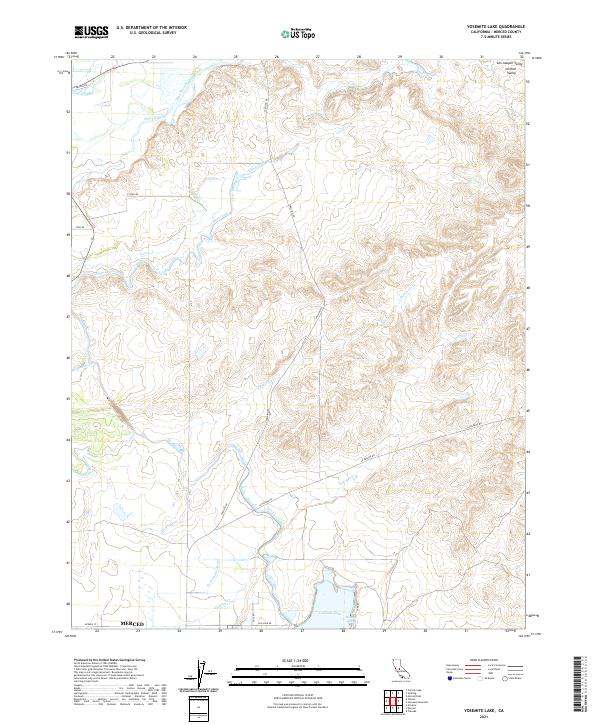
2021 Map of Yosemite Lake
USGS Topo · Published 2021About this map
Yosemite Lake and its recreation area at Rotary Cove dominate the southern portion of this landscape, situated just north of the Merced city limits. This region of the San Joaquin Valley is defined by a sophisticated water management network essential to Central California agriculture. The northern reach is shaped by the Merced River and Dana Slough, while an intricate system of artificial waterways, including the Main Canal, Henderson Lateral, and Rotterdam Lateral, distribute water across the terrain. Natural drainage still persists through various seasonal watercourses such as Canal Creek, Fahrens Cr, and Edendale Cr. The layout of roads like Snelling Rd and La Paloma Rd follows the early township and range survey lines, illustrating how the rural infrastructure was built to support the valley's intensive irrigation-based economy.
Find a feature on this map
29 named features on this map. Tap any name to fly to it.
Don’t see what you’re looking for? This feature index may not catch every label — zoom into the map to look around manually.
Map Details
Editions of this 2021 Yosemite Lake Map
This is the sole edition of this map. No revisions or reprints were ever made.
Other maps of this area

1893 · Sonora
USGS Topo · 1:125,000

1896 · Sonora
USGS Topo · 1:125,000

1897 · Sonora
USGS Topo · 1:125,000

1898 · Sonora
USGS Topo · 1:125,000

1913 · Dickenson
USGS Topo · 1:31,680

1914 · Merced
USGS Topo · 1:31,680

1916 · Three Tree Flat
USGS Topo · 1:31,680

1916 · Hopeton
USGS Topo · 1:31,680

1916 · Merced Falls
USGS Topo · 1:24,000

1917 · Winton
USGS Topo · 1:31,680