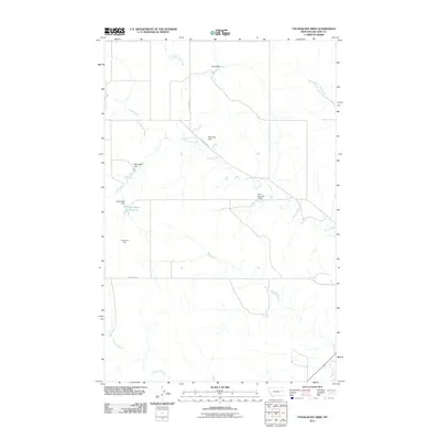
2011 Map of Youngquist Mine
USGS Topo · Published 2011About this map
Youngquist Mine stands as a central industrial landmark in this portion of McCone County, Montana, during the early twenty-first century. The landscape is defined by its extensive water management system, characterized by numerous small-scale impoundments including Groh Dam, Pawlowski Dam, and Reinemer Dam. These features suggest a ranching or agricultural environment where controlling the flow of local drainages like Horse Creek and Denwoody Creek was essential for sustaining livestock or irrigation.
Find a feature on this map
15 named features on this map. Tap any name to fly to it.
Don’t see what you’re looking for? This feature index may not catch every label — zoom into the map to look around manually.
Map Details
Editions of this 2011 Youngquist Mine Map
This is the sole edition of this map. No revisions or reprints were ever made.
Other maps of this area

1954 · Glendive
USGS Topo · 1:250,000

1957 · Glendive
USGS Topo · 1:250,000

1958 · Glendive
USGS Topo · 1:250,000

1982 · Circle
USGS Topo · 1:100,000

1983 · Youngquist Mine
USGS Topo · 1:24,000

1983 · Brockway NE
USGS Topo · 1:24,000

1983 · Haynie Reservoir
USGS Topo · 1:24,000

1983 · North Fork Horse Creek
USGS Topo · 1:24,000

1983 · Quick Reservoir
USGS Topo · 1:24,000

1983 · Circle
USGS Topo · 1:24,000