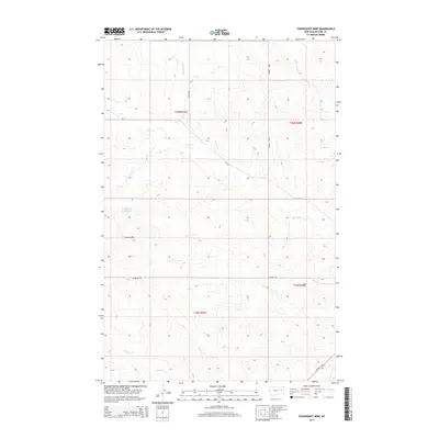
2014 Map of Youngquist Mine
USGS Topo · Published 2014About this map
The Youngquist Mine stands as a central industrial landmark in this McCone County landscape, situated near the western edge of the quadrangle. The surrounding terrain is defined by a dense network of seasonal drainages and local water sources, including the Groh Stock Reservoir and several named creeks such as Horse Cr, Denwoody Cr, and Antelope Cr. In the southeastern corner, the Redwater River cuts through the territory, shadowed by MT-200. The map reveals a remote ranching and mining environment where infrastructure is limited to essential rural routes like McKean Rd and Mayberry Rd. This survey documents the intersection of public land management and local resource extraction, capturing the specific township and range boundaries that have organized this part of Montana for generations.
Find a feature on this map
16 named features on this map. Tap any name to fly to it.
Don’t see what you’re looking for? This feature index may not catch every label — zoom into the map to look around manually.
Map Details
Editions of this 2014 Youngquist Mine Map
This is the sole edition of this map. No revisions or reprints were ever made.
Other maps of this area

1954 · Glendive
USGS Topo · 1:250,000

1957 · Glendive
USGS Topo · 1:250,000

1958 · Glendive
USGS Topo · 1:250,000

1982 · Circle
USGS Topo · 1:100,000

1983 · Youngquist Mine
USGS Topo · 1:24,000

1983 · Brockway NE
USGS Topo · 1:24,000

1983 · Haynie Reservoir
USGS Topo · 1:24,000

1983 · North Fork Horse Creek
USGS Topo · 1:24,000

1983 · Quick Reservoir
USGS Topo · 1:24,000

1983 · Circle
USGS Topo · 1:24,000