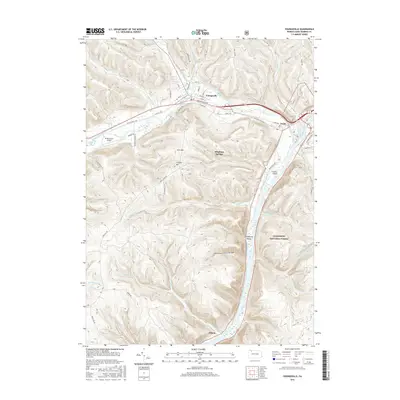
2016 Map of Youngsville
USGS Topo · Published 2016About this map
The Allegheny River corridor defines this portion of Warren County, where the waterway carves a path through the Allegheny National Forest. Near the confluence of Brokenstraw Creek and the river, the settlement of Youngsville serves as a local hub, connected to Irvine and western points by the Youngsville Byp and Old Pittsfield Rd. The landscape is marked by significant topographical shifts, from the heights of York Mtn and Crippen Hill to the secluded depths of Pennsylvania Hollow.
Find a feature on this map
70 named features on this map. Tap any name to fly to it.
Don’t see what you’re looking for? This feature index may not catch every label — zoom into the map to look around manually.
Map Details
Editions of this 2016 Youngsville Map
This is the sole edition of this map. No revisions or reprints were ever made.
Other maps of this area

1906 · Warren
USGS Topo · 1:62,500

1907 · Warren
USGS Topo · 1:62,500

1908 · Warren
USGS Topo · 1:62,500

1926 · Youngsville
USGS Topo · 1:62,500

1927 · Tidioute
USGS Topo · 1:48,000

1929 · Youngsville
USGS Topo · 1:62,500

1930 · Tidioute
USGS Topo · 1:62,500

1935 · Sheffield
USGS Topo · 1:48,000

1941 · Sheffield
USGS Topo · 1:62,500

1943 · Youngsville
USGS Topo · 1:62,500
Featured Places
- Youngsville, PA
- Pittsfield Township, PA
- Watson Township, PA
- Conewango Township, PA
- Pleasant Township, PA