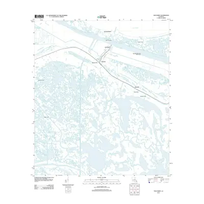
2012 Map of Yscloskey
USGS Topo · Published 2012About this map
Yscloskey and Alluvial City serve as the primary hubs in this coastal landscape, situated where the Mississippi River-Gulf Outlet Canal and Bayou la Loutre intersect the marshy terrain of Saint Bernard Parish. The area's character is defined by a dense network of natural bayous and man-made waterways, such as the Schooner Canal and Hopedale Canal, reflecting the region's reliance on water for transport and industry.
Find a feature on this map
35 named features on this map. Tap any name to fly to it.
Don’t see what you’re looking for? This feature index may not catch every label — zoom into the map to look around manually.
Map Details
Editions of this 2012 Yscloskey Map
This is the sole edition of this map. No revisions or reprints were ever made.
Other maps of this area

1891 · Pointe a La Hache
USGS Topo · 1:62,500

1892 · St. Bernard
USGS Topo · 1:62,500

1892 · Pointe a La Hache
USGS Topo · 1:62,500

1893 · Shell Beach
USGS Topo · 1:62,500

1893 · Dime
USGS Topo · 1:62,500

1935 · Delacroix
USGS Topo · 1:31,680

1935 · Lake Calebasse
USGS Topo · 1:31,680

1935 · Lake Batola
USGS Topo · 1:31,680

1939 · Shell Beach
USGS Topo · 1:62,500

1939 · Pointe a La Hache
USGS Topo · 1:62,500