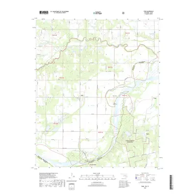
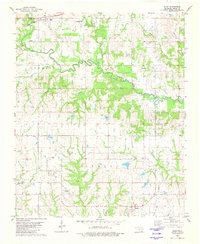
2018 Map of Yuba
USGS Topo · Published 2018About this map
Yuba stands as a central point of reference in this 2018 survey of the borderlands between Oklahoma and Texas. The landscape is defined by the winding course of the Red River, which carves the boundary through a region rich with oxbow lakes and named water bodies like Island Bayou and Shellenburger Lake. To the south, the Caddo National Grassland encompasses a significant portion of the terrain, illustrating the conservation and land management efforts in Fannin County.
Find a feature on this map
72 named features on this map. Tap any name to fly to it.
Don’t see what you’re looking for? This feature index may not catch every label — zoom into the map to look around manually.
Map Details
Editions of this 2018 Yuba Map
This is the sole edition of this map. No revisions or reprints were ever made.
Other maps of this area

1954 · Sherman
USGS Topo · 1:250,000

1957 · Wade
USGS Topo · 1:62,500

1958 · Durant
USGS Topo · 1:62,500

1958 · Bonham
USGS Topo · 1:62,500

1958 · Whitesright
USGS Topo · 1:62,500

1958 · Sherman
USGS Topo · 1:250,000
1980 · Telephone
USGS Topo · 1:24,000
1980 · Roberta
USGS Topo · 1:24,000
1980 · Bennington South
USGS Topo · 1:24,000
1980 · Blue
USGS Topo · 1:24,000