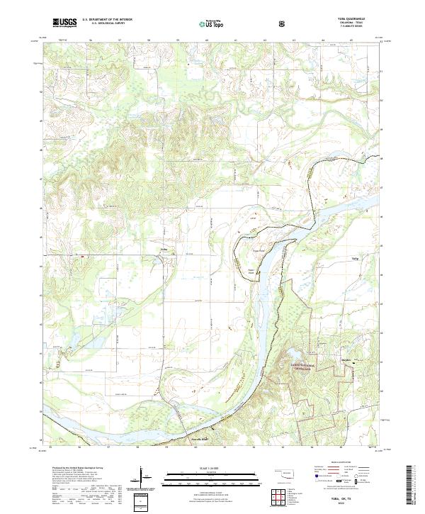
2022 Map of Yuba
USGS Topo · Published 2022About this map
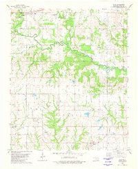
Yuba stands as the primary settlement in this stretch of southern Bryan County, situated just north of the winding course of the Red River. The landscape is defined by the complex hydrology of the river’s floodplain, where features like Island Bayou, Cutoff Lake, and Blue Lake illustrate the shifting nature of the waterway along the Oklahoma and Texas border. The presence of numerous small reservoirs and numbered lakes, such as Osborne Lake Number 2 and Osborne Lake Number 6, suggests a managed water system supporting the surrounding rural properties and agricultural tracts.
Find a feature on this map
72 named features on this map. Tap any name to fly to it.
Don’t see what you’re looking for? This feature index may not catch every label — zoom into the map to look around manually.
Map Details
Editions of this 2022 Yuba Map
This is the sole edition of this map. No revisions or reprints were ever made.
Other maps of this area

1954 · Sherman
USGS Topo · 1:250,000

1957 · Wade
USGS Topo · 1:62,500

1958 · Durant
USGS Topo · 1:62,500

1958 · Bonham
USGS Topo · 1:62,500

1958 · Whitesright
USGS Topo · 1:62,500

1958 · Sherman
USGS Topo · 1:250,000
1980 · Telephone
USGS Topo · 1:24,000
1980 · Roberta
USGS Topo · 1:24,000
1980 · Bennington South
USGS Topo · 1:24,000
1980 · Blue
USGS Topo · 1:24,000