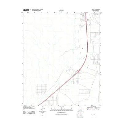
2011 Map of Yucca
USGS Topo · Published 2011About this map
Sacramento Valley provides the arid backdrop for this study of southwestern transport and industry in Mohave County. The settlement of Yucca serves as a focal point, anchored by the Yucca Post Office and the specialized infrastructure of the Yucca Ford Automotive Proving Grounds. The landscape is defined by the drainage patterns of numerous desert washes, including Sacramento Wash, Mackenzie Wash, and Happy Jack Wash, which intersect the modern transit corridor. Modern interchanges like the West Yucca Interchange and Gem Acres Interchange facilitate movement through the region, while the historic alignment of the National Old Trails Rd can still be traced along the eastern edge. Near the center of the sheet, the locale of Haviland sits among the branching networks of Flatton Wash and Illavar Wash, illustrating the sparse but deliberate settlement pattern common to this stretch of the Arizona desert.
Find a feature on this map
45 named features on this map. Tap any name to fly to it.
Don’t see what you’re looking for? This feature index may not catch every label — zoom into the map to look around manually.
Map Details
Editions of this 2011 Yucca Map
This is the sole edition of this map. No revisions or reprints were ever made.
Other maps of this area
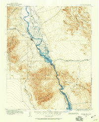
1903 · Needles
USGS Topo · 1:125,000
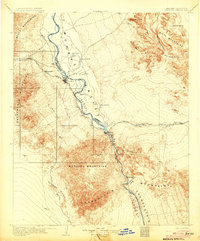
1904 · Needles Special
USGS Topo · 1:125,000
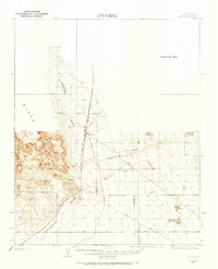
1927 · Yucca
USGS Topo · 1:62,500
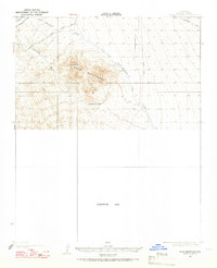
1927 · Buck Mountains
USGS Topo · 1:62,500
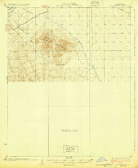
1929 · Buck Mountains
USGS Topo · 1:62,500
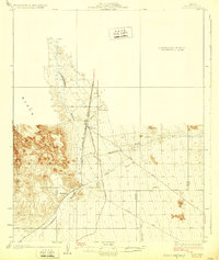
1929 · Yucca
USGS Topo · 1:62,500
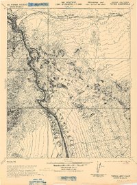
1943 · Topock
USGS Topo · 1:62,500
1950 · Topock
USGS Topo · 1:62,500
1951 · Topock
USGS Topo · 1:62,500
1954 · Needles
USGS Topo · 1:250,000