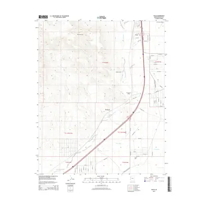
2014 Map of Yucca
USGS Topo · Published 2014About this map
Sacramento Wash carves through the arid floor of the Sacramento Valley, anchoring a landscape defined by desert transport and seasonal drainage. The settlement of Yucca serves as a central hub in this portion of the Mojave Desert, positioned at the base of the Black Mountains. The map illustrates a transition from the rugged upland contours to the alluvial plains of Dutch Flat, where a network of ephemeral watercourses like Illavar Wash and Flattop Wash converge.
Find a feature on this map
59 named features on this map. Tap any name to fly to it.
Don’t see what you’re looking for? This feature index may not catch every label — zoom into the map to look around manually.
Map Details
Editions of this 2014 Yucca Map
This is the sole edition of this map. No revisions or reprints were ever made.
Other maps of this area

1903 · Needles
USGS Topo · 1:125,000

1904 · Needles Special
USGS Topo · 1:125,000

1927 · Yucca
USGS Topo · 1:62,500

1927 · Buck Mountains
USGS Topo · 1:62,500

1929 · Buck Mountains
USGS Topo · 1:62,500

1929 · Yucca
USGS Topo · 1:62,500

1943 · Topock
USGS Topo · 1:62,500

1950 · Topock
USGS Topo · 1:62,500

1951 · Topock
USGS Topo · 1:62,500

1954 · Needles
USGS Topo · 1:250,000