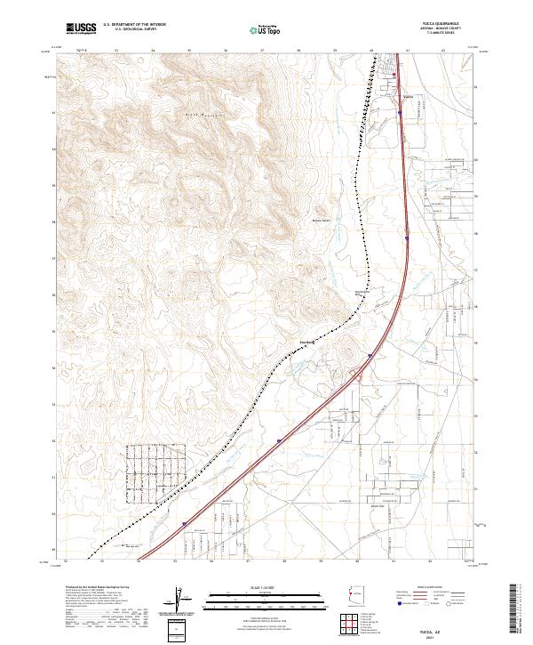
2021 Map of Yucca
USGS Topo · Published 2021About this map
Yucca serves as a primary hub in this Mohave County corridor, positioned where the high slopes of the Black Mountains descend into the arid expanse of the Mojave Desert. The landscape is defined by an intricate network of seasonal drainage systems, including Sacramento Wash, Mackenzie Wash, and Hoppy Jack Wash, which illustrate the hydrological patterns of the Sacramento Valley. This modern survey documents the established settlement at Yucca and the smaller locality of Haviland, connected by a grid of local roads and major transportation arteries.
Find a feature on this map
74 named features on this map. Tap any name to fly to it.
Don’t see what you’re looking for? This feature index may not catch every label — zoom into the map to look around manually.
Map Details
Editions of this 2021 Yucca Map
This is the sole edition of this map. No revisions or reprints were ever made.
Other maps of this area

1903 · Needles
USGS Topo · 1:125,000

1904 · Needles Special
USGS Topo · 1:125,000

1927 · Yucca
USGS Topo · 1:62,500

1927 · Buck Mountains
USGS Topo · 1:62,500

1929 · Buck Mountains
USGS Topo · 1:62,500

1929 · Yucca
USGS Topo · 1:62,500

1943 · Topock
USGS Topo · 1:62,500

1950 · Topock
USGS Topo · 1:62,500

1951 · Topock
USGS Topo · 1:62,500

1954 · Needles
USGS Topo · 1:250,000