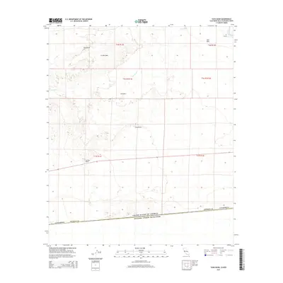
2015 Map of Yuha Basin
USGS Topo · Published 2015About this map
United States of America Estados Unidos Mexicanos international border defines the southern edge of this landscape, where the arid reaches of Imperial County meet Baja California. The terrain is marked by distinctive geological and hydrological features, including the Yuha Basin and the expansive Yuha Desert. Significant elevations such as Yuha Buttes and Sunrise Butte break the horizon, while the presence of Shell Beds indicates the ancient marine history of this desert environment. Water movement is traced by the seasonal Yuha Wash, which cuts across the basin toward the West Mesa. In the northeast corner, the drainage systems of the Imperial Valley are visible with Dixie Drain Two near Hyde Rd, representing the edge of the region's agricultural infrastructure where it meets the open desert.
Find a feature on this map
18 named features on this map. Tap any name to fly to it.
Don’t see what you’re looking for? This feature index may not catch every label — zoom into the map to look around manually.
Map Details
Editions of this 2015 Yuha Basin Map
This is the sole edition of this map. No revisions or reprints were ever made.
Other maps of this area

1915 · El Centro
USGS Topo · 1:125,000

1940 · Brawley
USGS Topo · 1:62,500

1940 · Heber
USGS Topo · 1:62,500

1940 · Plaster City
USGS Topo · 1:62,500

1940 · Coyote Wells
USGS Topo · 1:62,500

1942 · El Centro
USGS Topo · 1:250,000

1943 · Coyote Wells
USGS Topo · 1:62,500

1943 · Heber
USGS Topo · 1:62,500

1943 · Brawley
USGS Topo · 1:62,500

1944 · Plaster City
USGS Topo · 1:62,500