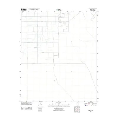
2011 Map of Yuma SE
USGS Topo · Published 2011About this map
The Yuma Desert landscape south of the city is defined by a rigid survey grid of roads and avenues that extend into the arid terrain. By the early 21st century, this area transitioned from open desert into a more structured layout, with citrus-themed labels like Grapefruit, Orange, and Tangerine suggesting agricultural roots or planned developments in the northern reaches.
Find a feature on this map
27 named features on this map. Tap any name to fly to it.
Don’t see what you’re looking for? This feature index may not catch every label — zoom into the map to look around manually.
Map Details
Editions of this 2011 Yuma SE Map
This is the sole edition of this map. No revisions or reprints were ever made.
Other maps of this area

1903 · Yuma
USGS Topo · 1:125,000

1905 · Yuma
USGS Topo · 1:125,000

1926 · Fortuna
USGS Topo · 1:62,500

1929 · Fortuna
USGS Topo · 1:62,500

1940 · Yuma
USGS Topo · 1:62,500

1942 · Yuma
USGS Topo · 1:250,000

1945 · Yuma
USGS Topo · 1:62,500

1952 · Yuma East
USGS Topo · 1:24,000

1952 · Yuma West
USGS Topo · 1:24,000

1954 · El Centro
USGS Topo · 1:250,000