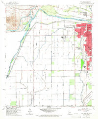
1965 Map of Yuma West
USGS Topo · Published 1966About this map
Fort Yuma Indian Reservation and the burgeoning city of Yuma dominate this mid-1960s landscape, where the Colorado River serves as both a border and a vital resource. The map reveals an intricate hydraulic network essential for desert agriculture, including the Alamo Canal, Main Canal, and numerous lateral drains like the Miller Drain. Historic transportation and utility corridors are evident through the Southern Pacific railroad and landmarks such as the Old Araz Stage Depot and the Pilot Knob Hydro-electric Plant. Within the city, localized history is preserved through named schools like Pecan Grove Sch and Kofa High Sch. The presence of the U S Marine Corps Air Station and the University of Arizona Agricultural Experiment Sta highlights the region's importance for both military aviation and arid-land research during this era.
Find a feature on this map
80 named features on this map. Tap any name to fly to it.
Don’t see what you’re looking for? This feature index may not catch every label — zoom into the map to look around manually.
Map Details
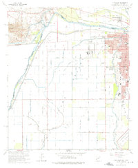
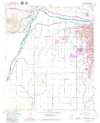
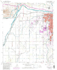
Editions of this 1965 Yuma West Map
4 editions found
Other maps of this area

1903 · Yuma
USGS Topo · 1:125,000

1905 · Yuma
USGS Topo · 1:125,000

1940 · Yuma
USGS Topo · 1:62,500

1942 · Yuma
USGS Topo · 1:250,000

1945 · Picacho Peak
USGS Topo · 1:62,500

1945 · Yuma
USGS Topo · 1:62,500

1951 · Picacho Peak
USGS Topo · 1:62,500

1952 · Araz
USGS Topo · 1:24,000

1952 · Yuma East
USGS Topo · 1:24,000

1952 · Yuma West
USGS Topo · 1:24,000