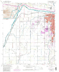
1965 Map of Yuma West
USGS Topo · Published 1979About this map
The Colorado River serves as the focal point for this complex border region where Arizona, California, and Mexico converge. This late-1960s perspective reveals the critical irrigation infrastructure of the Yuma Valley, including the massive All-American Canal, Alamo Canal, and the Morelos Dam near the international boundary. The urban expansion of Yuma is evident through numerous neighborhood schools like Union High Sch and Carver Sch, while the city’s role in regional commerce and defense is anchored by the Southern Pacific railroad and the U S Marine Corps Air Station. To the north, the Fort Yuma Indian Reservation and the settlement of Winterhaven overlook the river, while landmarks like Pilot Knob and the Pilot Knob Hydro-electric Plant define the western horizon near the historic Andrade (Site).
Find a feature on this map
61 named features on this map. Tap any name to fly to it.
Don’t see what you’re looking for? This feature index may not catch every label — zoom into the map to look around manually.
Map Details
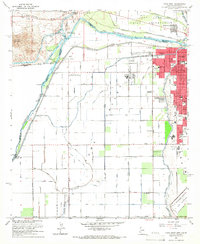
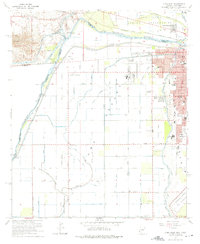
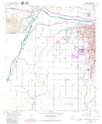
Editions of this 1965 Yuma West Map
4 editions found
Other maps of this area

1903 · Yuma
USGS Topo · 1:125,000

1905 · Yuma
USGS Topo · 1:125,000

1940 · Yuma
USGS Topo · 1:62,500

1942 · Yuma
USGS Topo · 1:250,000

1945 · Picacho Peak
USGS Topo · 1:62,500

1945 · Yuma
USGS Topo · 1:62,500

1951 · Picacho Peak
USGS Topo · 1:62,500

1952 · Araz
USGS Topo · 1:24,000

1952 · Yuma East
USGS Topo · 1:24,000

1952 · Yuma West
USGS Topo · 1:24,000