
1942 Map of Yuma
USGS Topo · Published 1942About this map
The Colorado River and Gila River serve as the lifeblood of this arid border region, defined by massive irrigation projects and wartime activity. The 1942 landscape is shaped by the Imperial Dam and Laguna Dam, which divert water into the All American Canal Project to transform the Yuma Desert and East Mesa. Military preparations are evident at the Army Air Base and CCC Camp, while the surrounding mountains contain a dense concentration of mining history, including the Picacho Mine, Tumco Mines, and American Girl Mine. Across the border, settlements like San Luis and Cuervos line the rail corridors of the Southern Pacific and National Railways of Mexico. The map documents a critical moment where massive engineering and global conflict converged on the southwestern frontier.
Find a feature on this map
99 named features on this map. Tap any name to fly to it.
Don’t see what you’re looking for? This feature index may not catch every label — zoom into the map to look around manually.
Map Details
Editions of this 1942 Yuma Map
This is the sole edition of this map. No revisions or reprints were ever made.
Other maps of this area

1903 · Yuma
USGS Topo · 1:125,000

1905 · Yuma
USGS Topo · 1:125,000

1907 · Holtville
USGS Topo · 1:125,000

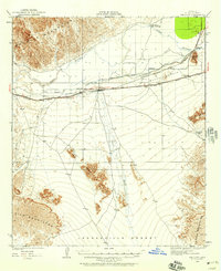
1926 · Fortuna
USGS Topo · 1:62,500
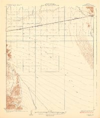
1926 · Wellton
USGS Topo · 1:62,500

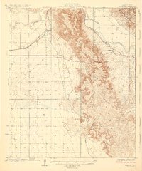
1926 · Mohawk
USGS Topo · 1:62,500
1928 · Mohawk
USGS Topo · 1:62,500

1928 · Norton
USGS Topo · 1:62,500
1929 · Fortuna
USGS Topo · 1:62,500
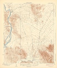
1929 · Laguna
USGS Topo · 1:62,500