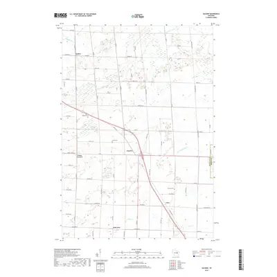
2018 Map of Zachow
USGS Topo · Published 2018About this map
Zachow and Angelica anchor this rural Wisconsin landscape, where the headwaters of several regional river systems converge in the late 2010s. The map illustrates a dense grid of farm-to-market roads, reflecting the long-established agricultural character of the area near the border of Shawano Co and Brown Co. This drainage divide is particularly notable, sending water north via the Pensaukee River and southeast through the Little Suamico River and Potter Cr.
Find a feature on this map
58 named features on this map. Tap any name to fly to it.
Don’t see what you’re looking for? This feature index may not catch every label — zoom into the map to look around manually.
Map Details
Editions of this 2018 Zachow Map
This is the sole edition of this map. No revisions or reprints were ever made.
Other maps of this area

1954 · Green Bay
USGS Topo · 1:62,500

1955 · Seymour
USGS Topo · 1:62,500

1955 · Green Bay
USGS Topo · 1:250,000

1956 · Gillett
USGS Topo · 1:62,500

1956 · Oconto Falls
USGS Topo · 1:62,500

1974 · Seymour
USGS Topo · 1:24,000

1974 · Cecil
USGS Topo · 1:24,000

1974 · Zachow
USGS Topo · 1:24,000
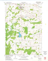
1974 · Bonduel
USGS Topo · 1:24,000
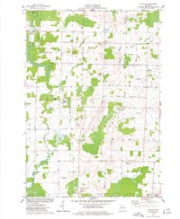
1974 · Nichols
USGS Topo · 1:24,000