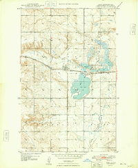
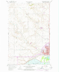
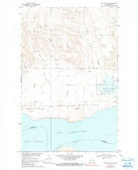
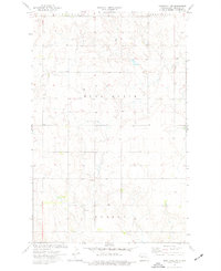
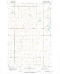
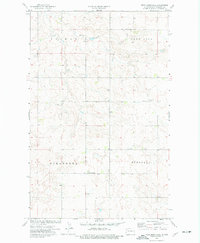
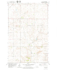
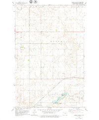
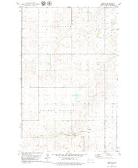
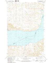
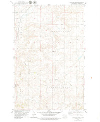
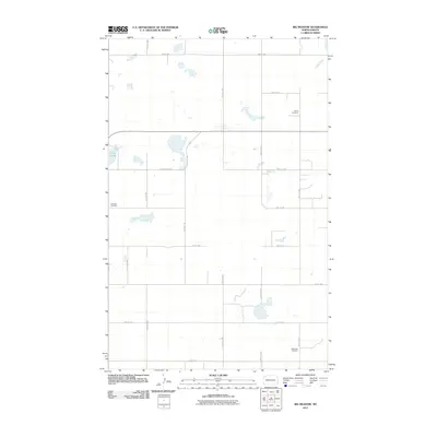
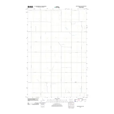
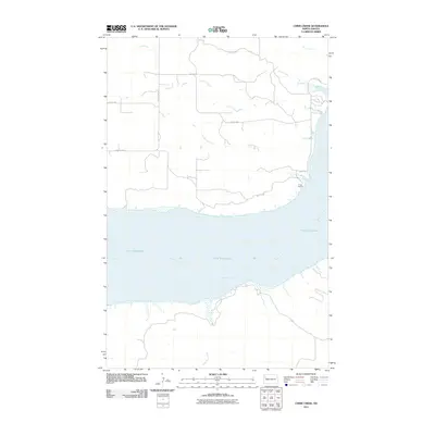
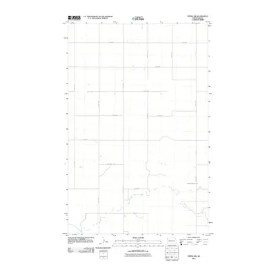
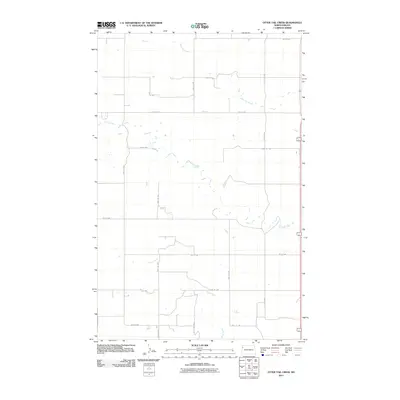
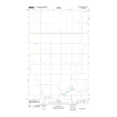
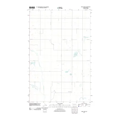
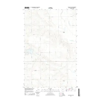
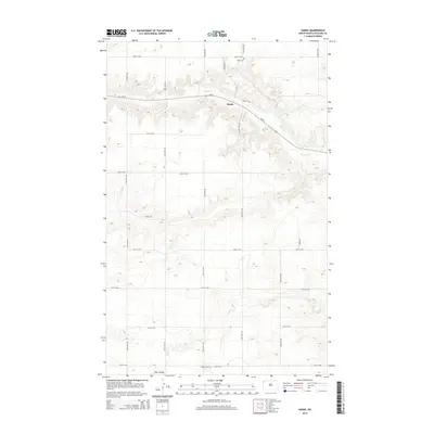
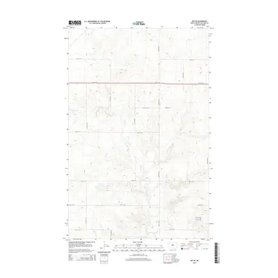
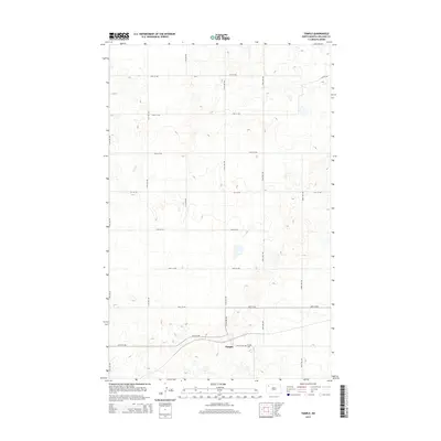
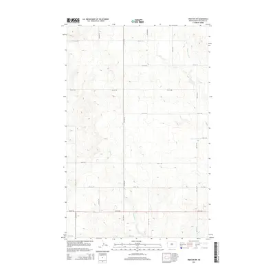
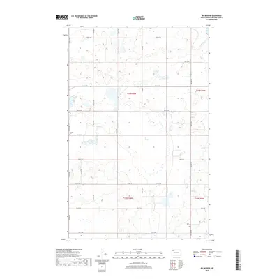
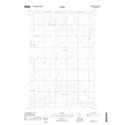
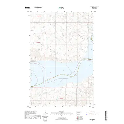
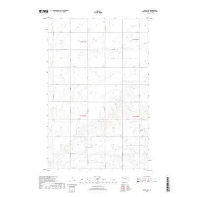
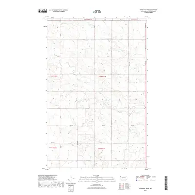
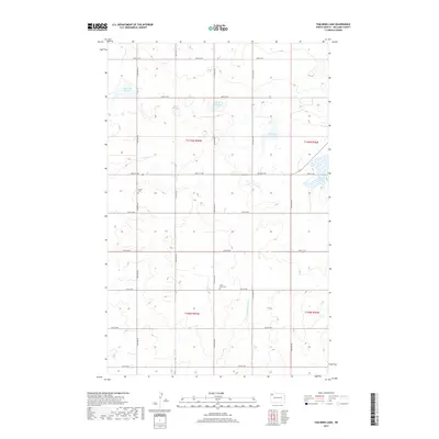
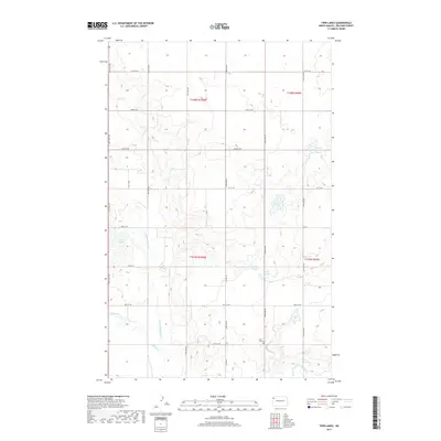
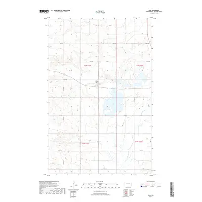
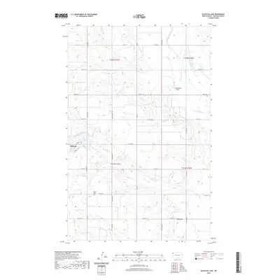
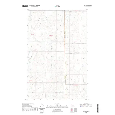
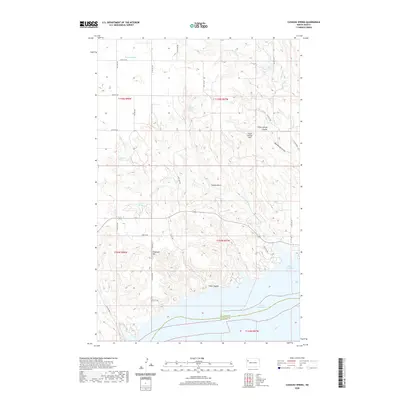
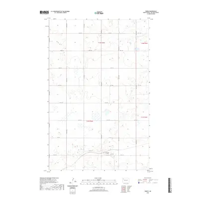
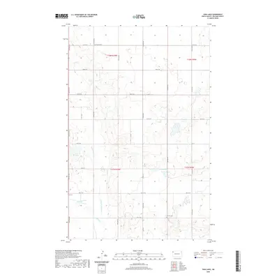
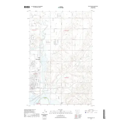
1948 Map of Zahl
USGS Topo · Published 1948About this map
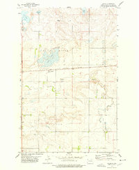
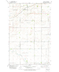
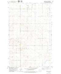
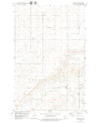
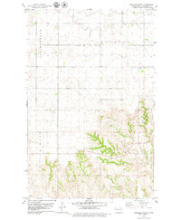
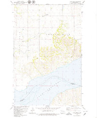
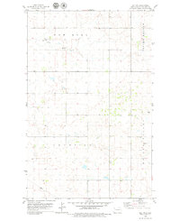
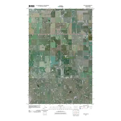
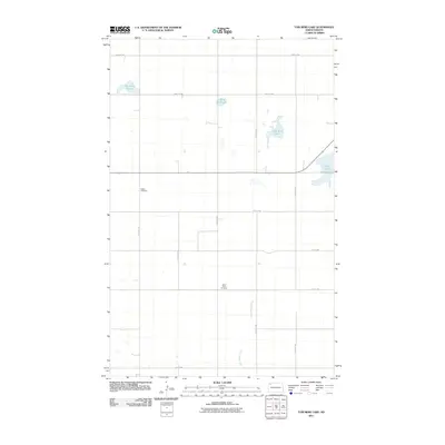
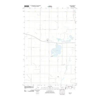
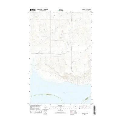
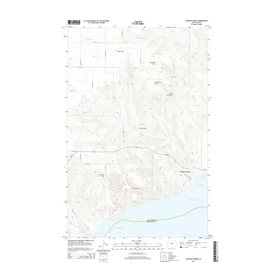
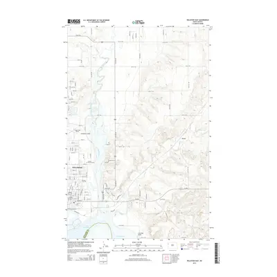
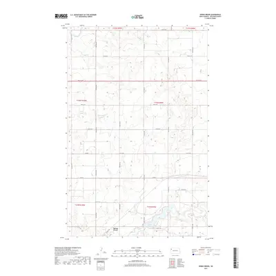
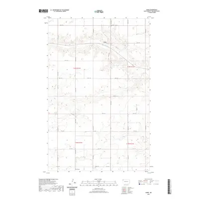
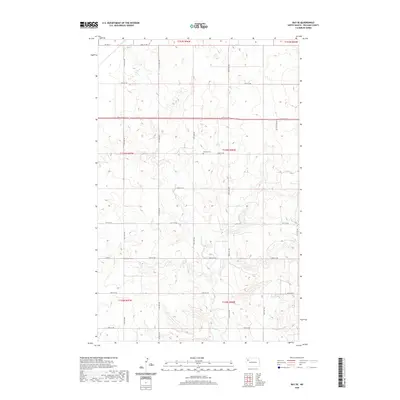
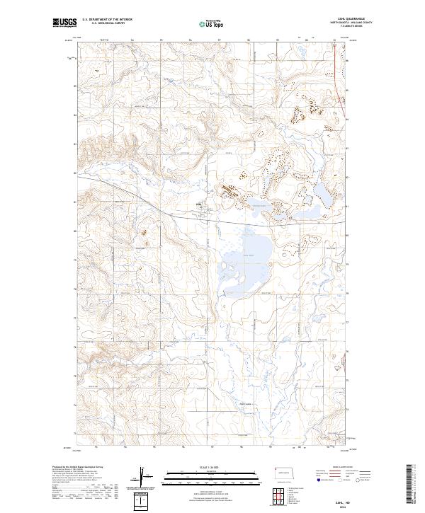
Zahl sits at the heart of this post-war survey, positioned along the Great Northern rail line in northwestern North Dakota. The landscape is characterized by a significant glacial-lake system, anchored by the expansive Lake Zahl and Shirley Lake, which are protected as part of the Des Lacs National Wildlife Refuge. The terrain is shaped by numerous coulees and drainage basins, including Pats Coulee and Little Muddy Creek, reflecting the prairie pothole region's unique geography.
Find a feature on this map
15 named features on this map. Tap any name to fly to it.
Don’t see what you’re looking for? This feature index may not catch every label — zoom into the map to look around manually.
Map Details
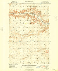
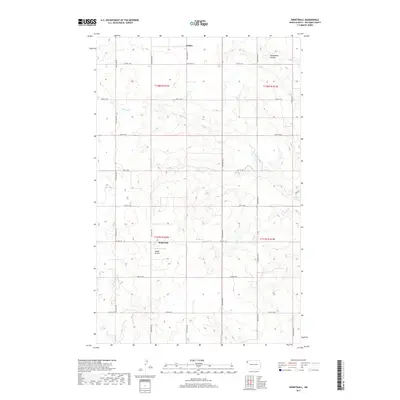
Editions of this 1948 Zahl Map
This is the sole edition of this map. No revisions or reprints were ever made.
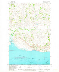
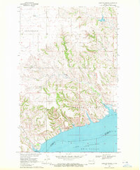
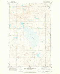
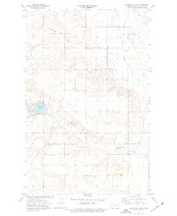
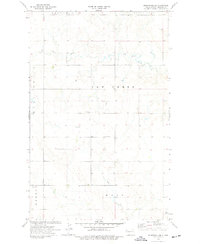
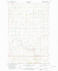
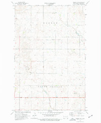
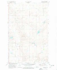
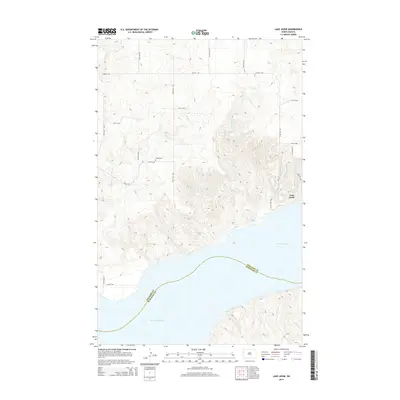
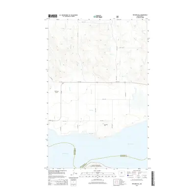
Historical Maps of Zahl Through Time
205 maps found
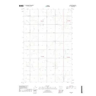
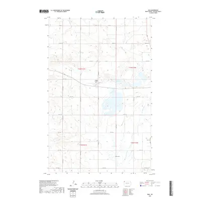
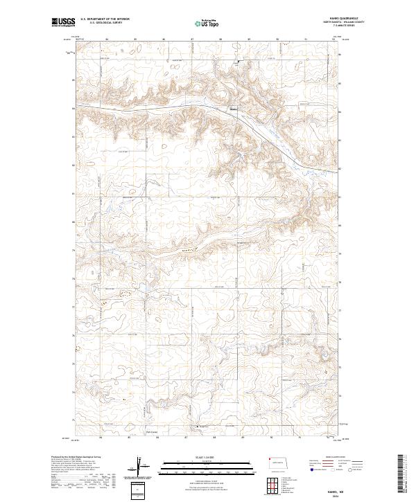
1948 Hanks
Williams County, ND
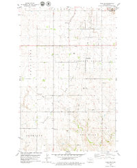
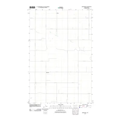
1948 Zahl
Williams County, ND
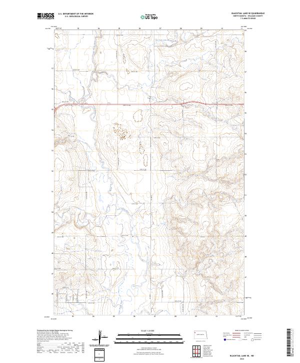
1959 Blacktail Lake SE
Williams County, ND
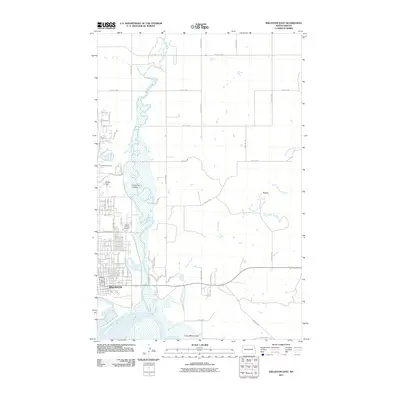
1959 Williston East
Williams County, ND
1959 Williston West
Williams County, ND
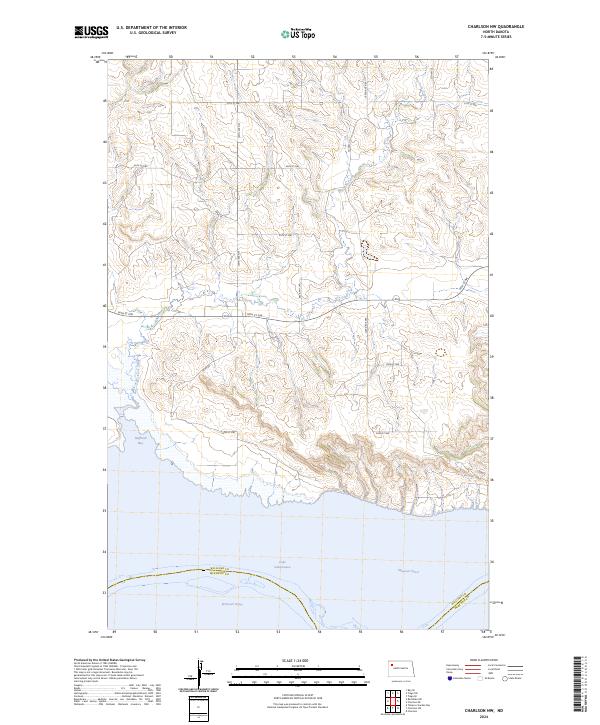
1965 Charlson NW
Williams County, ND
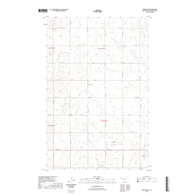
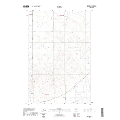
1968 Trenton SW
Williams County, ND
1969 Cussicks Spring
Williams County, ND
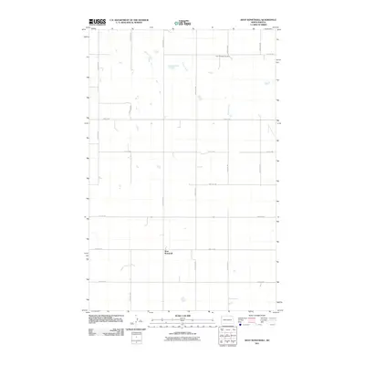
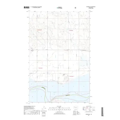
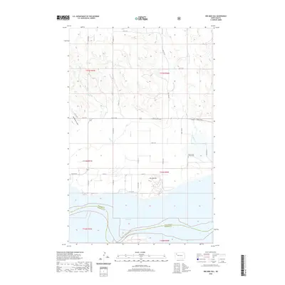
1969 Red Mike Hill
Williams County, ND
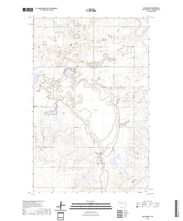
1974 Big Meadow
Williams County, ND
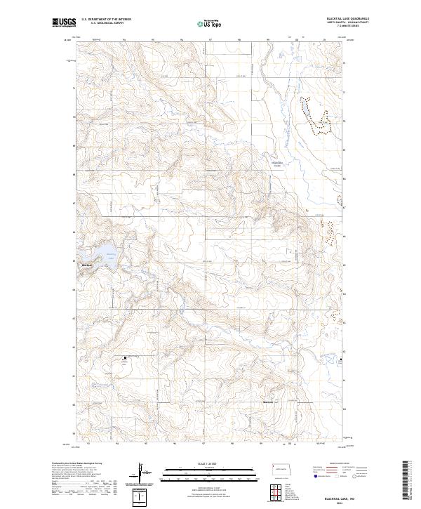
1974 Blacktail Lake
Williams County, ND
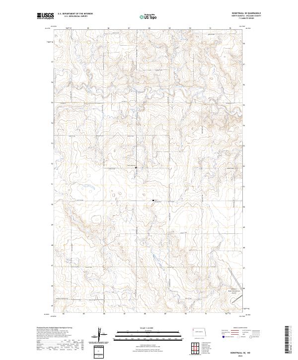
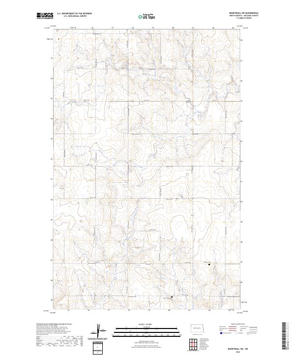
1974 Bonetraill SE
Williams County, ND
1974 Bonetraill SW
Williams County, ND
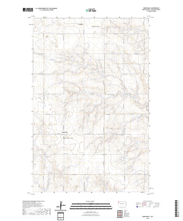
1974 Bonetraill
Williams County, ND
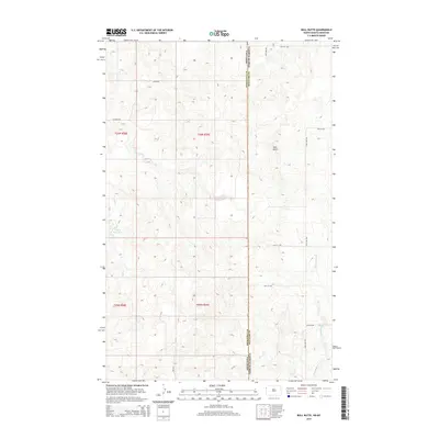
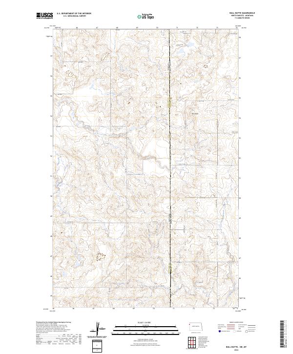
1974 Bull Butte
Williams County, ND
1974 Otter Tail Creek
Williams County, ND
1974 Tom Berg Lake
Williams County, ND
1974 Trenton NE
Williams County, ND
1974 Trenton NW
Williams County, ND
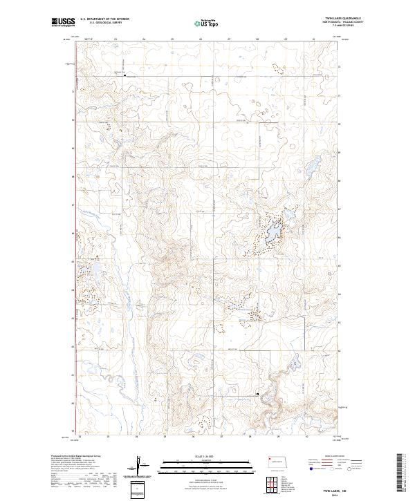
1974 Twin Lakes
Williams County, ND
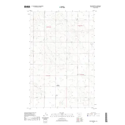
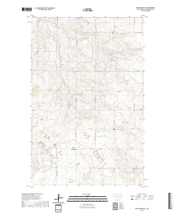
1974 West Bonetraill
Williams County, ND
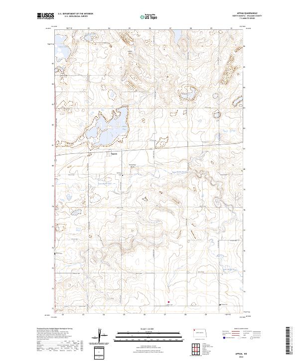
1977 Appam
Williams County, ND
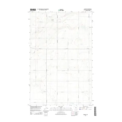
1978 Corinth
Williams County, ND
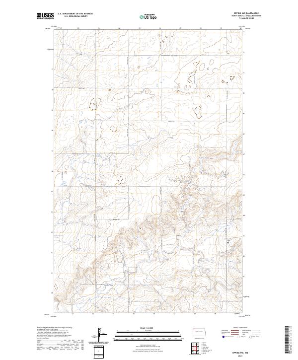
1978 Epping NE
Williams County, ND
1978 Epping NW
Williams County, ND
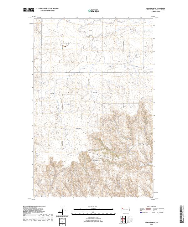
1978 Gamache Creek
Williams County, ND
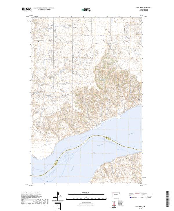
1978 Lake Jessie
Williams County, ND
1978 Ray NW
Williams County, ND
1978 Ray SE
Williams County, ND
1978 Spring Brook
Williams County, ND
1978 Temple
Williams County, ND
1979 Chris Creek
Williams County, ND
1979 Stockyard Creek
Williams County, ND
1979 Tioga SW
Williams County, ND
1997 Red Mike Hill
Williams County, ND
2011 Appam
Williams County, ND
2011 Big Meadow
Williams County, ND
2011 Blacktail Lake SE
Williams County, ND
2011 Blacktail Lake
Williams County, ND
2011 Bonetraill SE
Williams County, ND
2011 Bonetraill SW
Williams County, ND
2011 Bonetraill
Williams County, ND
2011 Bull Butte
Williams County, ND
2011 Charlson NW
Williams County, ND
2011 Chris Creek
Williams County, ND
2011 Corinth
Williams County, ND
2011 Cussicks Spring
Williams County, ND
2011 Epping NE
Williams County, ND
2011 Epping NW
Williams County, ND
2011 Gamache Creek
Williams County, ND
2011 Hanks
Williams County, ND
2011 Lake Jessie
Williams County, ND
2011 Otter Tail Creek
Williams County, ND
2011 Ray NW
Williams County, ND
2011 Ray SE
Williams County, ND
2011 Red Mike Hill
Williams County, ND
2011 Spring Brook
Williams County, ND
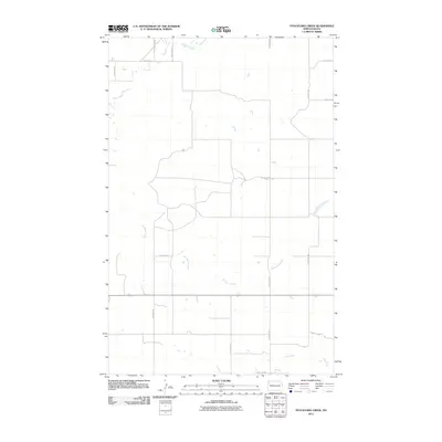
2011 Stockyard Creek
Williams County, ND
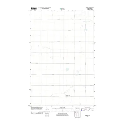
2011 Temple
Williams County, ND
2011 Tioga SW
Williams County, ND
2011 Tom Berg Lake
Williams County, ND
2011 Trenton NE
Williams County, ND
2011 Trenton NW
Williams County, ND
2011 Trenton SW
Williams County, ND
2011 Twin Lakes
Williams County, ND
2011 West Bonetraill
Williams County, ND
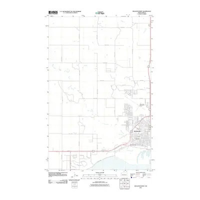
2011 Williston East
Williams County, ND
2011 Williston West
Williams County, ND
2011 Zahl
Williams County, ND
2014 Appam
Williams County, ND
2014 Big Meadow
Williams County, ND
2014 Blacktail Lake SE
Williams County, ND
2014 Blacktail Lake
Williams County, ND
2014 Bonetraill SE
Williams County, ND
2014 Bonetraill SW
Williams County, ND
2014 Bonetraill
Williams County, ND
2014 Bull Butte
Williams County, ND
2014 Charlson NW
Williams County, ND
2014 Chris Creek
Williams County, ND
2014 Corinth
Williams County, ND
2014 Cussicks Spring
Williams County, ND
2014 Epping NE
Williams County, ND
2014 Epping NW
Williams County, ND
2014 Gamache Creek
Williams County, ND
2014 Hanks
Williams County, ND
2014 Lake Jessie
Williams County, ND
2014 Otter Tail Creek
Williams County, ND
2014 Ray NW
Williams County, ND
2014 Ray SE
Williams County, ND
2014 Red Mike Hill
Williams County, ND
2014 Spring Brook
Williams County, ND
2014 Stockyard Creek
Williams County, ND
2014 Temple
Williams County, ND
2014 Tioga SW
Williams County, ND
2014 Tom Berg Lake
Williams County, ND
2014 Trenton NE
Williams County, ND
2014 Trenton NW
Williams County, ND
2014 Trenton SW
Williams County, ND
2014 Twin Lakes
Williams County, ND
2014 West Bonetraill
Williams County, ND
2014 Williston East
Williams County, ND
2014 Williston West
Williams County, ND
2014 Zahl
Williams County, ND
2017 Appam
Williams County, ND
2017 Big Meadow
Williams County, ND
2017 Blacktail Lake SE
Williams County, ND
2017 Blacktail Lake
Williams County, ND
2017 Bonetraill SE
Williams County, ND
2017 Bonetraill SW
Williams County, ND
2017 Bonetraill
Williams County, ND
2017 Bull Butte
Williams County, ND
2017 Charlson NW
Williams County, ND
2017 Chris Creek
Williams County, ND
2017 Corinth
Williams County, ND
2017 Cussicks Spring
Williams County, ND
2017 Epping NE
Williams County, ND
2017 Epping NW
Williams County, ND
2017 Gamache Creek
Williams County, ND
2017 Hanks
Williams County, ND
2017 Lake Jessie
Williams County, ND
2017 Otter Tail Creek
Williams County, ND
2017 Ray NW
Williams County, ND
2017 Ray SE
Williams County, ND
2017 Red Mike Hill
Williams County, ND
2017 Spring Brook
Williams County, ND
2017 Stockyard Creek
Williams County, ND
2017 Temple
Williams County, ND
2017 Tioga SW
Williams County, ND
2017 Tom Berg Lake
Williams County, ND
2017 Trenton NE
Williams County, ND
2017 Trenton NW
Williams County, ND
2017 Trenton SW
Williams County, ND
2017 Twin Lakes
Williams County, ND
2017 West Bonetraill
Williams County, ND
2017 Williston East
Williams County, ND
2017 Williston West
Williams County, ND
2017 Zahl
Williams County, ND
2020 Appam
Williams County, ND
2020 Big Meadow
Williams County, ND
2020 Blacktail Lake SE
Williams County, ND
2020 Blacktail Lake
Williams County, ND
2020 Bonetraill SE
Williams County, ND
2020 Bonetraill SW
Williams County, ND
2020 Bonetraill
Williams County, ND
2020 Bull Butte
Williams County, ND
2020 Charlson NW
Williams County, ND
2020 Chris Creek
Williams County, ND
2020 Corinth
Williams County, ND
2020 Cussicks Spring
Williams County, ND
2020 Epping NE
Williams County, ND
2020 Epping NW
Williams County, ND
2020 Gamache Creek
Williams County, ND
2020 Hanks
Williams County, ND
2020 Lake Jessie
Williams County, ND
2020 Otter Tail Creek
Williams County, ND
2020 Ray NW
Williams County, ND
2020 Ray SE
Williams County, ND
2020 Red Mike Hill
Williams County, ND
2020 Spring Brook
Williams County, ND
2020 Stockyard Creek
Williams County, ND
2020 Temple
Williams County, ND
2020 Tioga SW
Williams County, ND
2020 Tom Berg Lake
Williams County, ND
2020 Trenton NE
Williams County, ND
2020 Trenton NW
Williams County, ND
2020 Trenton SW
Williams County, ND
2020 Twin Lakes
Williams County, ND
2020 West Bonetraill
Williams County, ND
2020 Williston East
Williams County, ND
2020 Williston West
Williams County, ND
2020 Zahl
Williams County, ND
2024 Appam
Williams County, ND
2024 Big Meadow
Williams County, ND
2024 Blacktail Lake SE
Williams County, ND
2024 Blacktail Lake
Williams County, ND
2024 Bonetraill SE
Williams County, ND
2024 Bonetraill SW
Williams County, ND
2024 Bonetraill
Williams County, ND
2024 Bull Butte
Williams County, ND
2024 Charlson NW
Williams County, ND
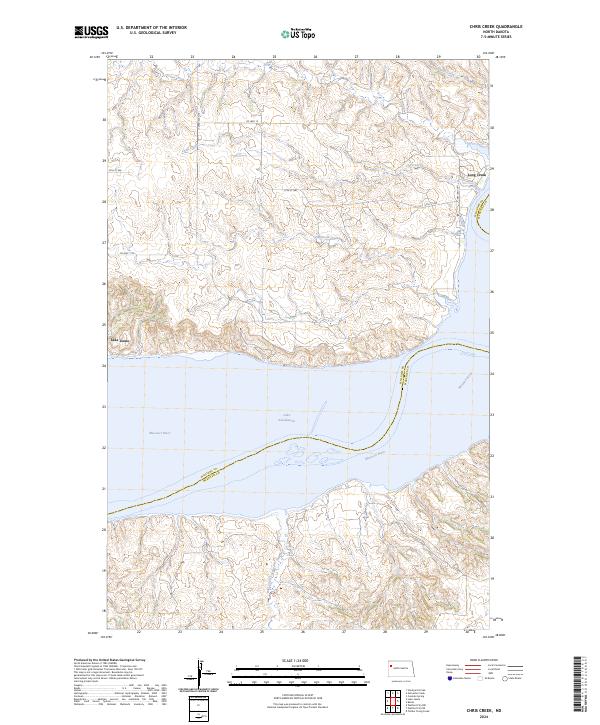
2024 Chris Creek
Williams County, ND
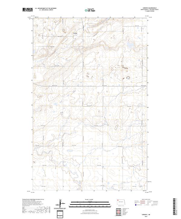
2024 Corinth
Williams County, ND
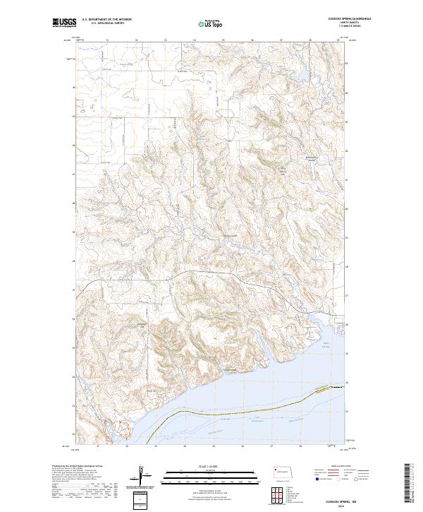
2024 Cussicks Spring
Williams County, ND
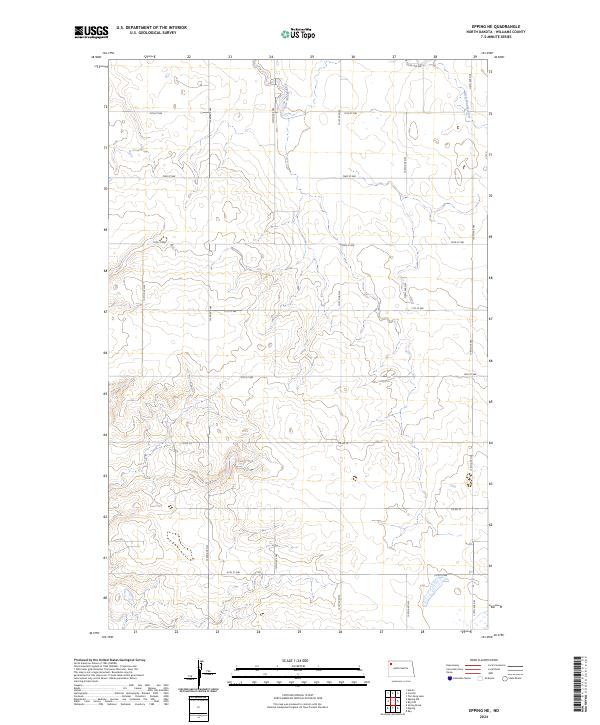
2024 Epping NE
Williams County, ND
2024 Epping NW
Williams County, ND
2024 Gamache Creek
Williams County, ND
2024 Hanks
Williams County, ND
2024 Lake Jessie
Williams County, ND
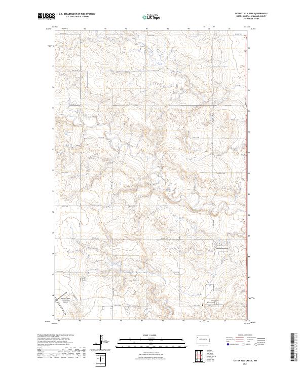
2024 Otter Tail Creek
Williams County, ND
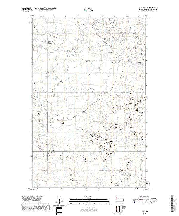
2024 Ray NW
Williams County, ND
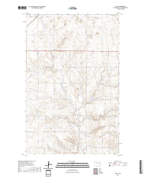
2024 Ray SE
Williams County, ND
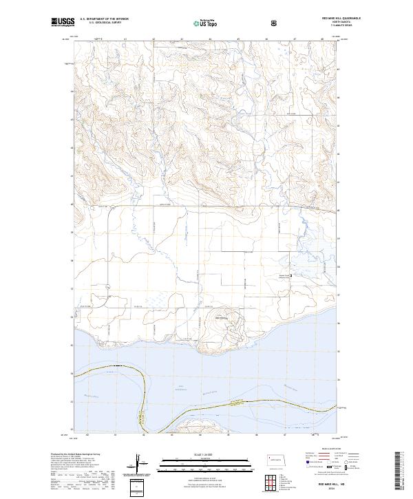
2024 Red Mike Hill
Williams County, ND
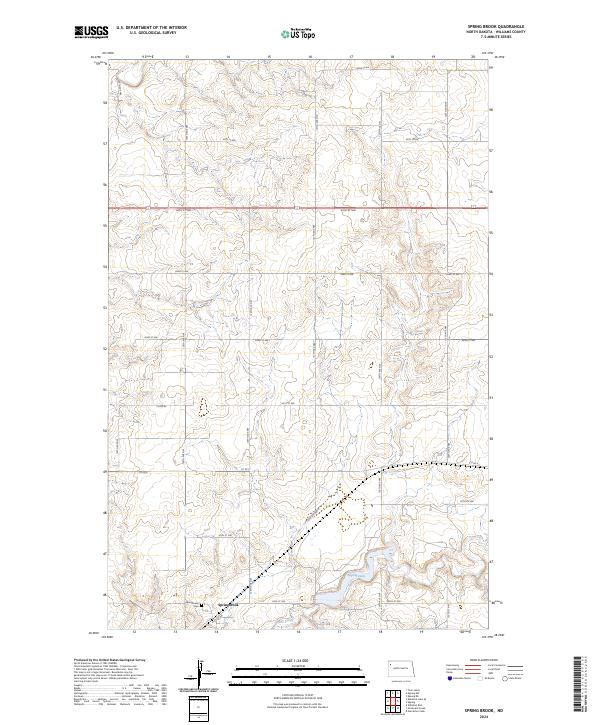
2024 Spring Brook
Williams County, ND
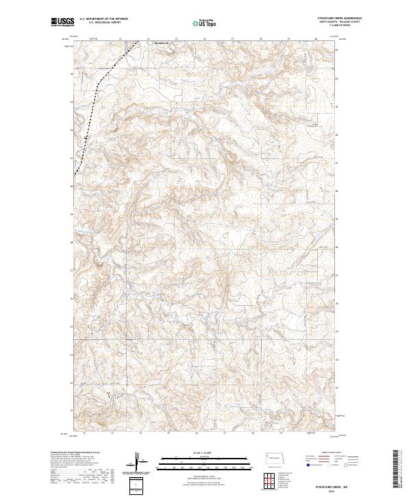
2024 Stockyard Creek
Williams County, ND
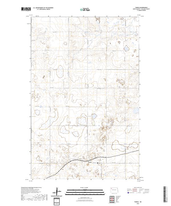
2024 Temple
Williams County, ND
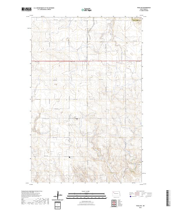
2024 Tioga SW
Williams County, ND
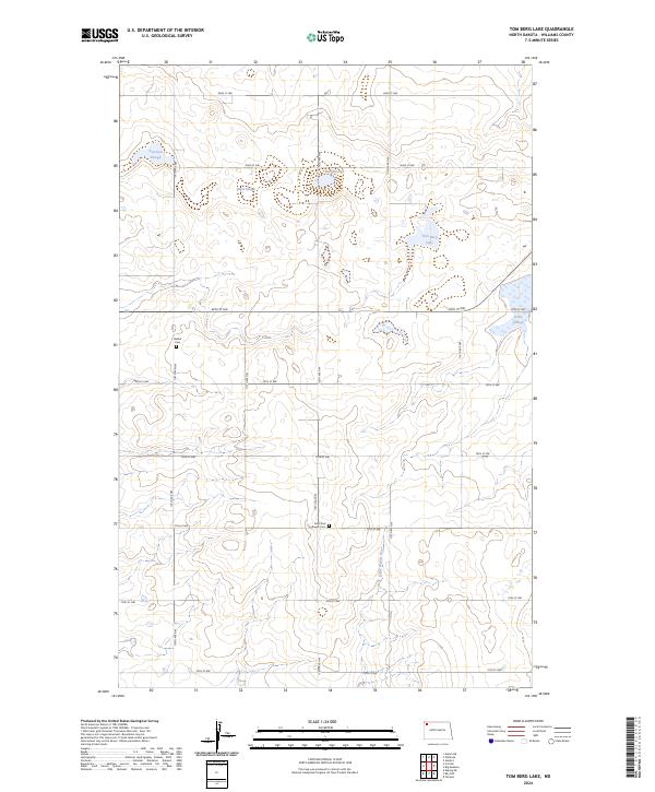
2024 Tom Berg Lake
Williams County, ND
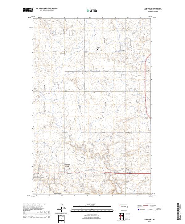
2024 Trenton NE
Williams County, ND
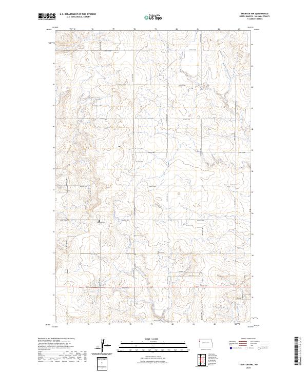
2024 Trenton NW
Williams County, ND
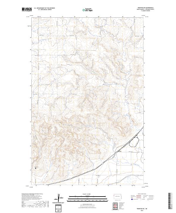
2024 Trenton SW
Williams County, ND
2024 Twin Lakes
Williams County, ND
2024 West Bonetraill
Williams County, ND
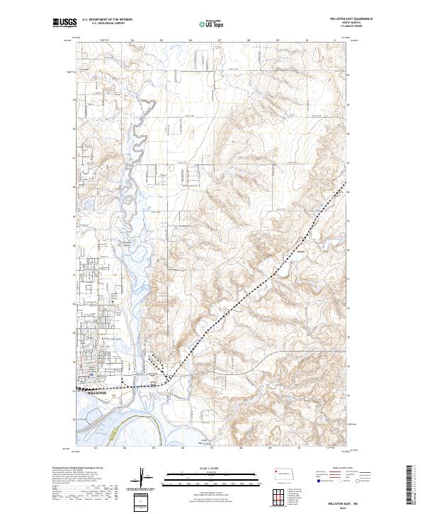
2024 Williston East
Williams County, ND
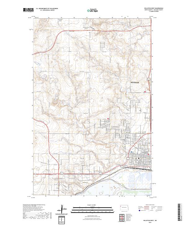
2024 Williston West
Williams County, ND
2024 Zahl
Williams County, ND