Loading...
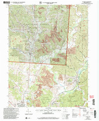
Loading map...2002 Map of Zaleski
USGS Topo · Published 2006About this map
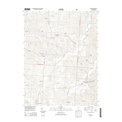
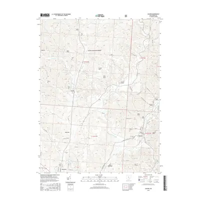
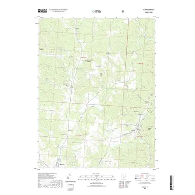
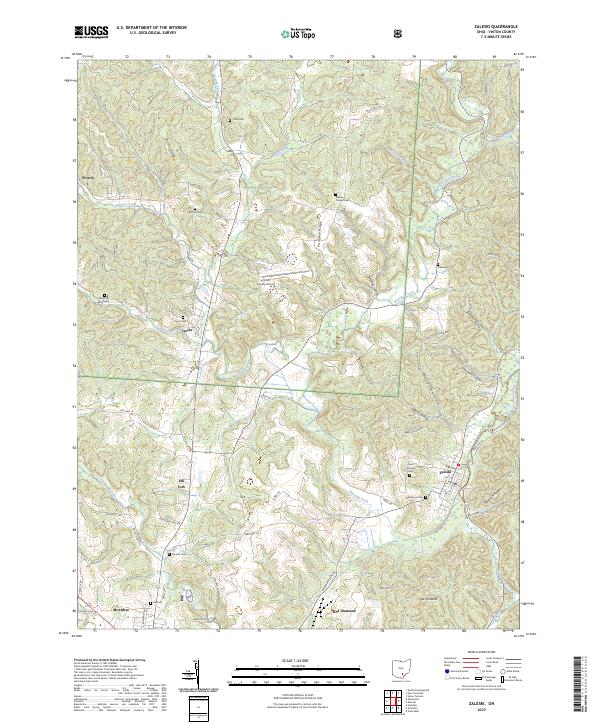
The Wayne National Forest and Zaleski State Forest dominate this Vinton County landscape, where the legacy of industrial extraction meets conservation efforts. Numerous labels for Strip Mines and Reclaimed Strip Mines dot the hillsides, particularly around Pumpkin Ridge and the western reaches of Zaleski State Park Trail. The village of Zaleski sits near the eastern edge, serving as a hub for the local transportation network including the South Company River Ohio Railroad.
Find a feature on this map
58 named features on this map. Tap any name to fly to it.
Don’t see what you’re looking for? This feature index may not catch every label — zoom into the map to look around manually.
Map Details
Date Portrayed2002
Date Published2006
PublisherU.S. Geological Survey
Map TypeTopographic
Scale1:24,000
Physical Dimensions21.9 x 26.8 inches
Editions of this 2002 Zaleski Map
This is the sole edition of this map. No revisions or reprints were ever made.
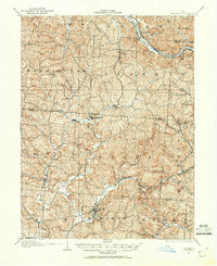
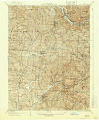
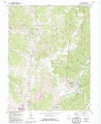
Historical Maps of McArthur Through Time
9 maps found
Featured Locations
Source Details
SourceU.S. Geological Survey
CopyrightPublic Domain