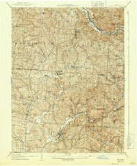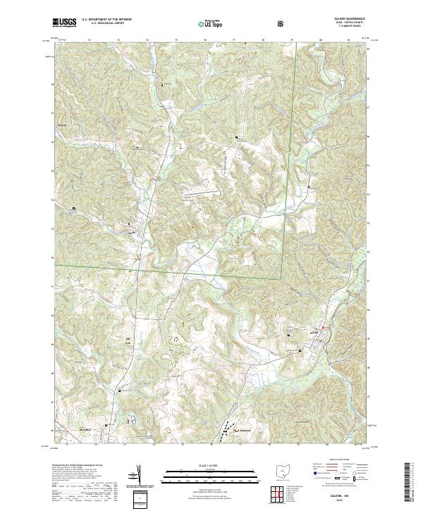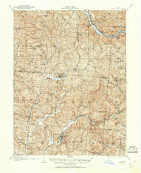
1904 Map of Zaleski
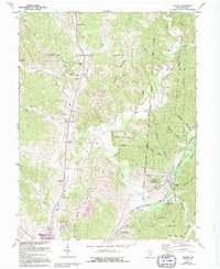
USGS Topo · Published 1960About this map
The Baltimore and Ohio RR and the Hocking Valley RR define the industrial landscape of the Hocking Hills region at the turn of the century. The village of Zaleski serves as a central hub, while the rugged terrain is dotted with rail-dependent settlements like Moonville and Carbondale. The influence of the extractive economy is visible through the presence of the Coal RR and numerous small communities like Union Furnace and Mineral. Along the Hocking River, industrial sites such as Haydenville and East Clayton highlight the early 1900s brick and clay manufacturing era. The map traces the winding paths of Raccoon Creek and Hewett Fork through Vinton and Hocking Counties, revealing a network of small homesteads and rural crossroads like Islesboro and New Plymouth before the modern forest preserves reclaimed much of the land.
Find a feature on this map
56 named features on this map. Tap any name to fly to it.
Don’t see what you’re looking for? This feature index may not catch every label — zoom into the map to look around manually.
Map Details
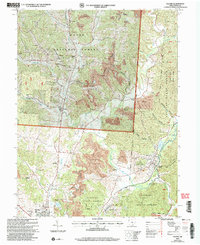
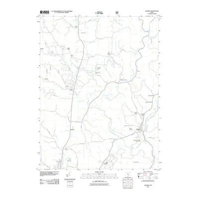
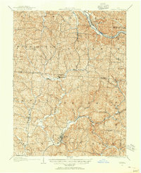
Editions of this 1904 Zaleski Map
2 editions found
Historical Maps of Nelsonville Through Time
9 maps found