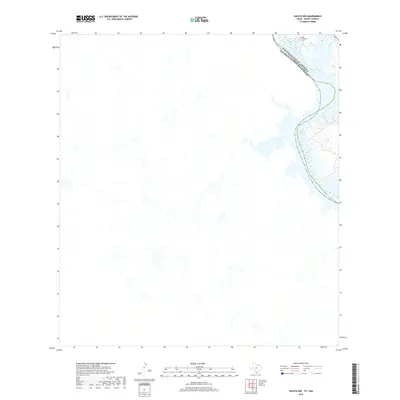
2019 Map of Zapata NW
USGS Topo · Published 2019About this map
United States Of America Estados Unidos Mexicanos defines the landscape here, tracing the international boundary as it follows the original course of the Rio Grande. In this arid reach of Zapata County, the high-water line of Falcon Reservoir creates a complex, indented shoreline that pushes back against the brush-covered terrain. Near the northern edge of the sheet, the Old Raotireno Cem remains a significant marker of local heritage and early settlement patterns along the river valley. The landscape is characterized by its proximity to the water's edge, where the reservoir's levels dictate the accessibility of the surrounding drainages and coastal features.
Find a feature on this map
3 named features on this map. Tap any name to fly to it.
Don’t see what you’re looking for? This feature index may not catch every label — zoom into the map to look around manually.
Map Details
Editions of this 2019 Zapata NW Map
This is the sole edition of this map. No revisions or reprints were ever made.
Other maps of this area

1942 · San Ygnacio
USGS Topo · 1:62,500

1949 · Mc Allen
USGS Topo · 1:250,000

1954 · McAllen
USGS Topo · 1:250,000

1956 · Zapata
USGS Topo · 1:62,500

1956 · Laredo
USGS Topo · 1:250,000

1957 · Mc Allen
USGS Topo · 1:250,000

1962 · McAllen
USGS Topo · 1:250,000
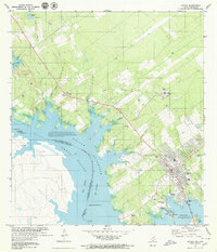
1979 · Zapata
USGS Topo · 1:24,000
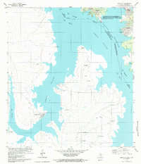
1979 · Zapata SE
USGS Topo · 1:24,000
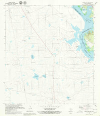
1979 · Zapata NW
USGS Topo · 1:24,000