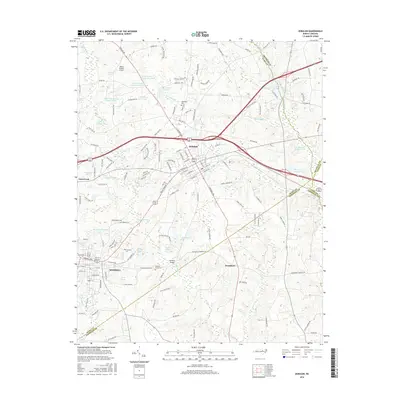
2016 Map of Zebulon
USGS Topo · Published 2016About this map
Zebulon and Wendell anchor this 2016 topographical study of the Piedmont landscape where Wake, Johnston, Franklin, and Nash counties converge. The region is defined by a dense network of tributaries including Little River, Moccasin Cr, and Beaverdam Cr, which feed numerous named impoundments such as Bunn Lake and Lake Johnson. The mapping captures the character of eastern Wake County as it balances suburban growth with established rural landmarks, including the curiously named Lizard Lick and the crossroads of Earpsboro.
Find a feature on this map
154 named features on this map. Tap any name to fly to it.
Don’t see what you’re looking for? This feature index may not catch every label — zoom into the map to look around manually.
Map Details
Editions of this 2016 Zebulon Map
This is the sole edition of this map. No revisions or reprints were ever made.
Other maps of this area

1902 · Kenly
USGS Topo · 1:62,500

1902 · Spring Hope
USGS Topo · 1:62,500

1903 · Kenly
USGS Topo · 1:62,500

1904 · Springhope
USGS Topo · 1:62,500

1953 · Raleigh
USGS Topo · 1:250,000

1954 · Raleigh
USGS Topo · 1:250,000

1964 · Flowers
USGS Topo · 1:24,000

1964 · Selma
USGS Topo · 1:62,500

1964 · Clayton
USGS Topo · 1:24,000

1967 · Knightdale
USGS Topo · 1:24,000