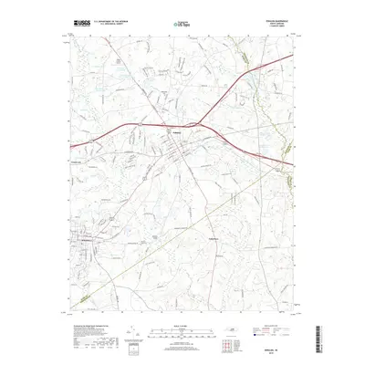
2019 Map of Zebulon
USGS Topo · Published 2019About this map
Zebulon and Wendell serve as the primary hubs in this modern topographic study of eastern Wake County, showing the extensive suburban road network and water resources near the borders of Franklin, Nash, and Johnston counties. The course of the Little River dominates the central landscape, punctuated by local crossings like Morphus Bridge and surrounded by a series of engineered water bodies including Bunn Lake and Privette Lake Number One.
Find a feature on this map
160 named features on this map. Tap any name to fly to it.
Don’t see what you’re looking for? This feature index may not catch every label — zoom into the map to look around manually.
Map Details
Editions of this 2019 Zebulon Map
This is the sole edition of this map. No revisions or reprints were ever made.
Other maps of this area

1902 · Kenly
USGS Topo · 1:62,500

1902 · Spring Hope
USGS Topo · 1:62,500

1903 · Kenly
USGS Topo · 1:62,500

1904 · Springhope
USGS Topo · 1:62,500

1953 · Raleigh
USGS Topo · 1:250,000

1954 · Raleigh
USGS Topo · 1:250,000

1964 · Flowers
USGS Topo · 1:24,000

1964 · Selma
USGS Topo · 1:62,500

1964 · Clayton
USGS Topo · 1:24,000

1967 · Knightdale
USGS Topo · 1:24,000