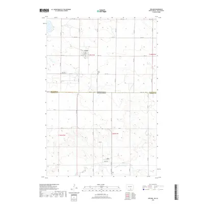
2018 Map of Zeeland
USGS Topo · Published 2018About this map
The settlement of Zeeland sits at the intersection of local history and the Great Plains landscape, positioned just north of the state line. This 2018 survey documents a quiet rural corridor where the McIntosh and Campbell county border divides North Dakota and South Dakota. Small community landmarks, particularly those of genealogical interest, are scattered across the section lines, including the Saint Johns Reformed Cem and Zion Cem. To the south, the village of Artas anchors the South Dakota portion of the quadrangle near the banks of Spring Creek. The map details a rectilinear grid of section roads like 98th St SE and 317th Ave, illustrating the enduring influence of the Public Land Survey System on the region's development and current agricultural patterns.
Find a feature on this map
42 named features on this map. Tap any name to fly to it.
Don’t see what you’re looking for? This feature index may not catch every label — zoom into the map to look around manually.
Map Details
Editions of this 2018 Zeeland Map
This is the sole edition of this map. No revisions or reprints were ever made.
Other maps of this area

1953 · Jamestown
USGS Topo · 1:250,000

1954 · Aberdeen
USGS Topo · 1:250,000

1956 · Aberdeen
USGS Topo · 1:250,000

1956 · Jamestown
USGS Topo · 1:250,000

1978 · Greenway
USGS Topo · 1:24,000

1978 · Zeeland
USGS Topo · 1:24,000
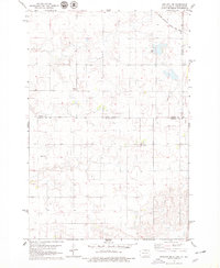
1978 · Zeeland NW
USGS Topo · 1:24,000

1978 · Eureka West
USGS Topo · 1:24,000

1978 · Mutske Lake
USGS Topo · 1:24,000
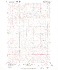
1978 · Zeeland SW
USGS Topo · 1:24,000