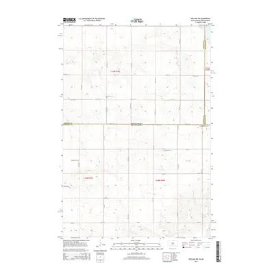
2015 Map of Zeeland NW
USGS Topo · Published 2015About this map
The state line between North Dakota and South Dakota bisects this high-plains landscape, where the borders of Emmons, McIntosh, and Campbell counties meet. The area is defined by a rigorous section-line road grid, including 20th Ave SE and 312th Ave, which connect isolated farmsteads across the undulating terrain. Local history and genealogy are anchored by two distinct burial sites: Freidens Cem appears twice, reflecting the proximity of the community to the state border, while Baptist Cem sits further south. The drainage patterns and topographic contours suggest a region of prairie potholes and subtle ridges, with Bridgewater Pl serving as one of the few named residential or local access points in this primarily agricultural expanse.
Find a feature on this map
30 named features on this map. Tap any name to fly to it.
Don’t see what you’re looking for? This feature index may not catch every label — zoom into the map to look around manually.
Map Details
Editions of this 2015 Zeeland NW Map
This is the sole edition of this map. No revisions or reprints were ever made.
Other maps of this area

1953 · Jamestown
USGS Topo · 1:250,000

1953 · McIntosh
USGS Topo · 1:250,000

1954 · Aberdeen
USGS Topo · 1:250,000

1954 · Bismarck
USGS Topo · 1:250,000

1956 · Aberdeen
USGS Topo · 1:250,000

1956 · Jamestown
USGS Topo · 1:250,000

1958 · Bismarck
USGS Topo · 1:250,000

1958 · McIntosh
USGS Topo · 1:250,000

1965 · Herreid NE
USGS Topo · 1:24,000

1965 · Herreid
USGS Topo · 1:24,000