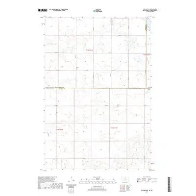
2017 Map of Zeeland NW
USGS Topo · Published 2017About this map
The borderlands of Campbell County, South Dakota, and Emmons County, North Dakota, are defined here by a precise grid of rural section lines and section roads. This landscape represents the high plains agricultural tradition, where movement is dictated by a network of local routes like Zeeland Rd and 315th Ave. The map documents a sparsely populated region where social and community life was anchored by local institutions, evidenced by the presence of both the Freidens Cem and the Baptist Cem. These sites, along with the clearly marked township and range designations like t129n r74w and t128n r75w, provide a foundational framework for genealogists and local historians tracing land ownership and family heritage in this section of the Great Plains.
Find a feature on this map
27 named features on this map. Tap any name to fly to it.
Don’t see what you’re looking for? This feature index may not catch every label — zoom into the map to look around manually.
Map Details
Editions of this 2017 Zeeland NW Map
This is the sole edition of this map. No revisions or reprints were ever made.
Other maps of this area

1953 · Jamestown
USGS Topo · 1:250,000

1953 · McIntosh
USGS Topo · 1:250,000

1954 · Aberdeen
USGS Topo · 1:250,000

1954 · Bismarck
USGS Topo · 1:250,000

1956 · Aberdeen
USGS Topo · 1:250,000

1956 · Jamestown
USGS Topo · 1:250,000

1958 · Bismarck
USGS Topo · 1:250,000

1958 · McIntosh
USGS Topo · 1:250,000

1965 · Herreid NE
USGS Topo · 1:24,000

1965 · Herreid
USGS Topo · 1:24,000