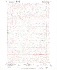
1978 Map of Zeeland SW
USGS Topo · Published 1979About this map
Soo Line tracks cut across the northern prairie of Campbell County in this late-1970s landscape, providing a primary transport artery through the agricultural terrain. The map reveals a community structured around small burial grounds and water sources, notably the Spring Creek Cem and the Reformed Cem, which serve as quiet markers of the area's social history. The physical geography is defined by the winding course of Spring Creek and the presence of Big Lake at the southern edge, while an unnamed Cem and a local Gravel Pit indicate the distribution of early settlements and local industry. The map's contour lines and numerous small depressions suggest a classic glacial till plain, typical of this region of South Dakota where natural Spring points were vital for homesteading.
Find a feature on this map
8 named features on this map. Tap any name to fly to it.
Don’t see what you’re looking for? This feature index may not catch every label — zoom into the map to look around manually.
Map Details
Editions of this 1978 Zeeland SW Map
This is the sole edition of this map. No revisions or reprints were ever made.
Other maps of this area

1953 · McIntosh
USGS Topo · 1:250,000

1954 · Aberdeen
USGS Topo · 1:250,000

1956 · Aberdeen
USGS Topo · 1:250,000

1958 · McIntosh
USGS Topo · 1:250,000

1965 · Herreid NE
USGS Topo · 1:24,000

1965 · Herreid
USGS Topo · 1:24,000

1967 · Mound City
USGS Topo · 1:24,000

1978 · Salt Lake
USGS Topo · 1:24,000

1978 · Zeeland
USGS Topo · 1:24,000
1978 · Zeeland NW
USGS Topo · 1:24,000