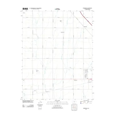
2012 Map of Zimmerdale
USGS Topo · Published 2012About this map
Harvey County agricultural land is defined by the branching tributaries of Emma Creek in this 2012 survey of the Kansas interior. The settlement of Zimmerdale sits near the crossing of N W Rd and the railroad corridor, serving as a focal point for the surrounding farming community. The landscape is notably dotted with several family and community burial grounds, including Garden Valley Cem, Royer Cem, and the Church of God of the First Born Cem. These sites, along with the Restlawn Garden of Memory Cem, provide significant markers for local genealogical research.
Find a feature on this map
44 named features on this map. Tap any name to fly to it.
Don’t see what you’re looking for? This feature index may not catch every label — zoom into the map to look around manually.
Map Details
Editions of this 2012 Zimmerdale Map
This is the sole edition of this map. No revisions or reprints were ever made.
Other maps of this area

1889 · Newton
USGS Topo · 1:125,000

1889 · Cheney
USGS Topo · 1:125,000

1889 · Wichita
USGS Topo · 1:125,000

1891 · Hutchinson
USGS Topo · 1:125,000

1891 · Cheney
USGS Topo · 1:125,000

1893 · Hutchinson
USGS Topo · 1:125,000

1894 · Wichita
USGS Topo · 1:125,000

1894 · Newton
USGS Topo · 1:125,000

1901 · Cheney
USGS Topo · 1:125,000

1955 · Wichita
USGS Topo · 1:250,000