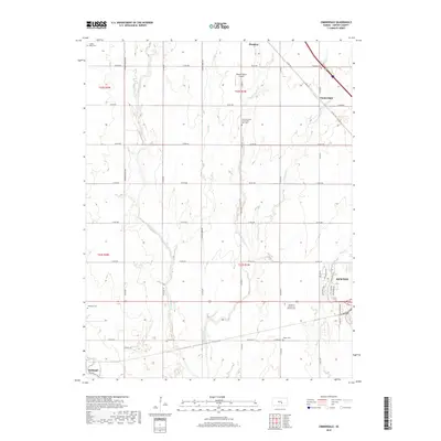
2018 Map of Zimmerdale
USGS Topo · Published 2018About this map
Zimmerdale and its surrounding prairie landscape are defined by a grid of rural roads and the convergence of several waterways in this Harvey County study. The terrain is marked by the three branches of the Emma Creek system—W Emma Cr, Middle Emma Cr, and E Emma Cr—which snake through the agricultural sections toward the Little Arkansas River near Halstead. This region is a focal point for local genealogy, containing several burial sites such as Garden Valley Cem, Eastlawn Cem, and the Church of God of the First Born Cem. The transition from rural farmland to the northwestern edge of Newton is evident in the development of residential streets like Moorlands Ln and Split Oak Dr. The presence of the Weaver Ranch Airport and the Warkentine Trail highlights the mix of private aviation and recreational paths that characterize this part of Kansas.
Find a feature on this map
48 named features on this map. Tap any name to fly to it.
Don’t see what you’re looking for? This feature index may not catch every label — zoom into the map to look around manually.
Map Details
Editions of this 2018 Zimmerdale Map
This is the sole edition of this map. No revisions or reprints were ever made.
Other maps of this area

1889 · Newton
USGS Topo · 1:125,000

1889 · Cheney
USGS Topo · 1:125,000

1889 · Wichita
USGS Topo · 1:125,000

1891 · Hutchinson
USGS Topo · 1:125,000

1891 · Cheney
USGS Topo · 1:125,000

1893 · Hutchinson
USGS Topo · 1:125,000

1894 · Wichita
USGS Topo · 1:125,000

1894 · Newton
USGS Topo · 1:125,000

1901 · Cheney
USGS Topo · 1:125,000

1955 · Wichita
USGS Topo · 1:250,000